Events
  Places
  Fish
Fish  Research
  Sign in
  New Catch Log
  New Trip Log
 Where is MOBERLY LAKE?
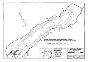
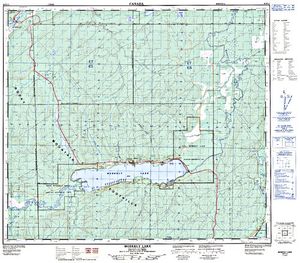
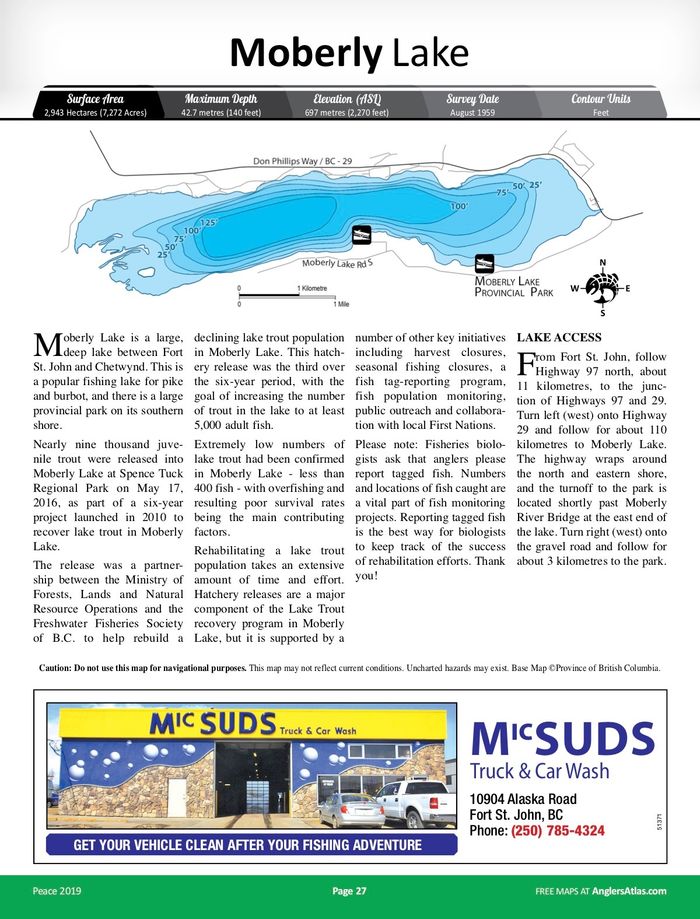
MOBERLY LAKE (55.8207, -121.7655), located in Peace Region, British Columbia, Canada spans 2875.8 hectares (approximately 7106 acres or 28.8 square kilometers).
Which fish can I catch at MOBERLY LAKE?
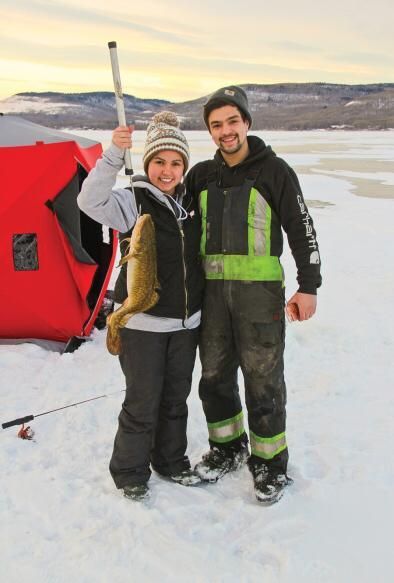
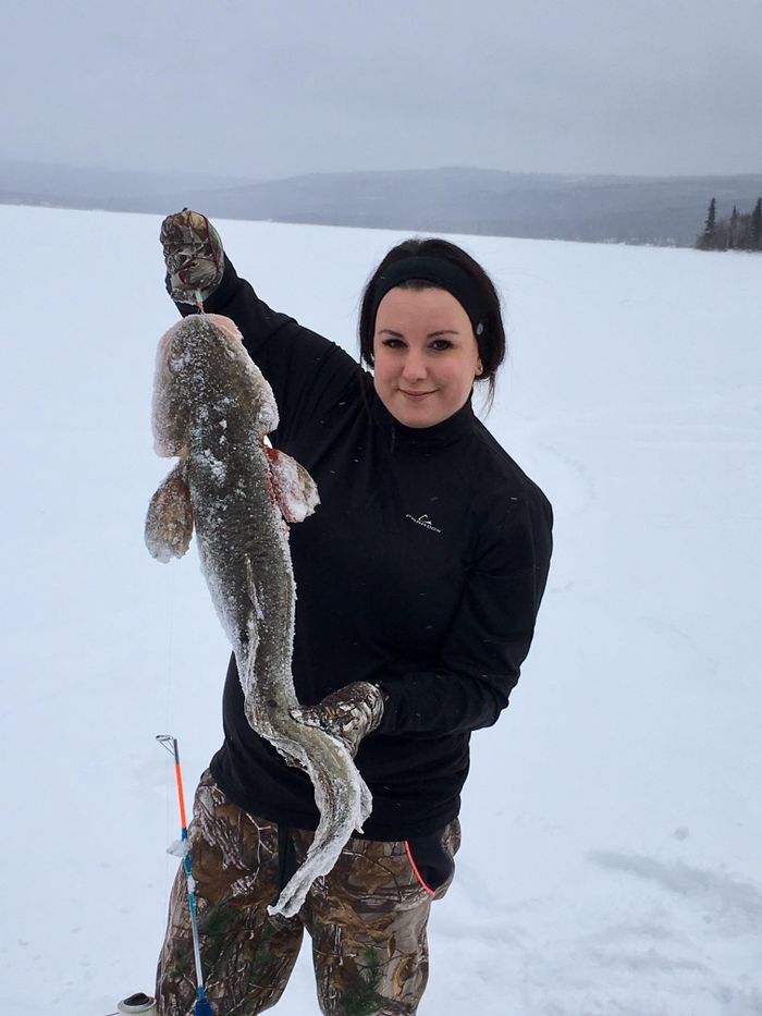
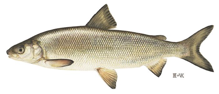
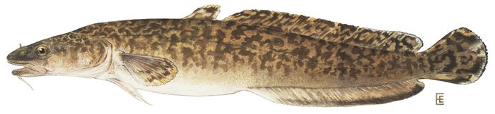
The most popular species caught here are Northern Pike, Burbot, and Lake Whitefish. Please use your best judgement when determining where you can fish, and make sure you follow local rules and regulations.
What does MOBERLY LAKE have?
Our members have marked 5 Boat Launches at MOBERLY LAKE. You can view these markers on the map.


Species
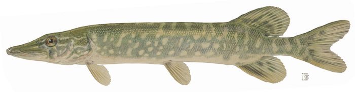
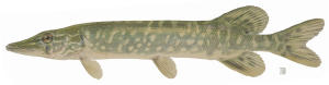 Northern Pike
 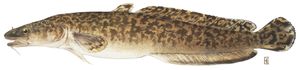 Burbot
 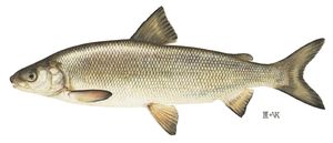 Lake Whitefish
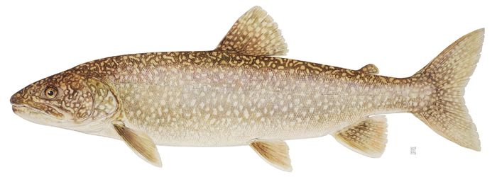
  Lake Trout
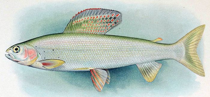
 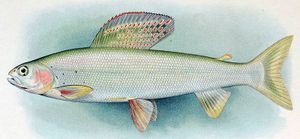 Arctic Grayling
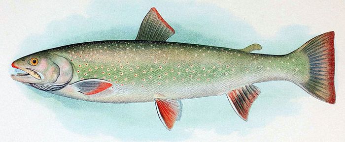
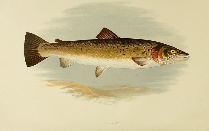
 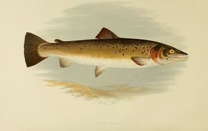 Bull Trout
 About MOBERLY LAKE
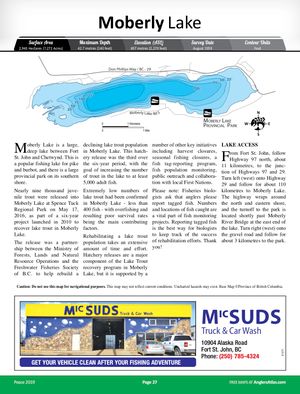
Moberly Lake is a large, deep lake between Fort St. John and Chetwynd. This is a popular fishing lake for pike and burbot, and there is a large provincial park on its southern shore. Fourteen thousand juvenile trout were released into Moberly Lake at Spence Tuck Regional Park on May 13, 2014 as part of a six-year project launched in 2010 to recover lake trout in Moberly Lake. The release is a partnership between the Ministry of Forests, Lands and Natural Resource Operations and the Freshwater Fisheries Society of B.C. to help rebuild a declining lake trout population in Moberly Lake.
This hatchery release is intended to be the second of three over the over the six-year period, with the goal of increasing the number of trout in the lake to at least 5,000 adult fish. Fourteen thousand trout were previously released in 2012. Extremely low numbers of lake trout had been confirmed in Moberly Lake -less than 400 fish- with overfishing and resulting poor survival rates being the main contributing factors.
Rehabilitating a lake trout population takes an extensive amount of time and effort. Now four years into project, ministry staff will begin work on the third group of juveniles set to be released in 2016, and continue population monitoring activities to evaluate the success of recovery efforts.
Hatchery releases are a major component of the Lake Trout recovery program in Moberly Lake, but it is supported by a number of other key initiatives including harvest closures, seasonal fishing closures, a fish tag-reporting program, fish population monitoring, public outreach and collaboration with local First Nations.
LAKE ACCESS
From Fort St. John, follow Highway 97 north, about 11 kilometres, to the junction of Highway 97 and 29. Turn left (west) onto Highway 29 and follow for about 110 kilometres to Moberly Lake. The highway wraps around the north and eastern shore, and the turnoff to the park is located shortly past Moberly River Bridge at the east end of the lake. Turn right (west) onto the gravel road and follow for about 3 kilometres to the park.


Lodging and Camping
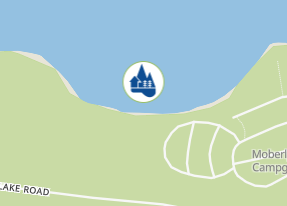
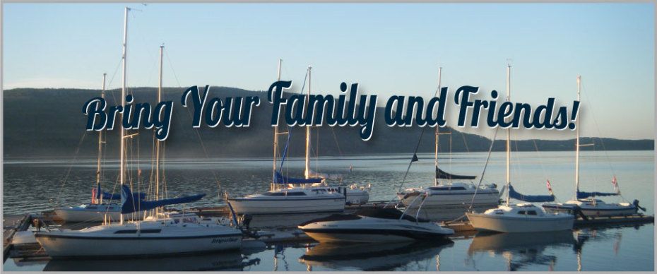
Whether you’re seeking a romantic weekend getaway for two, inviting the whole family for a weeklong reunion or planning a sweet summer season exploring the north, Moberly Lake Marina & Resort offers you a wide range of amenities including: Lakeside camping, Fishing, Boat rentals, Log cabin rentals, Seasonal moorage, Seasonal camping
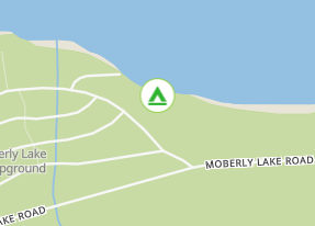
Known for its beautiful sunsets, Moberly Provincial Park is located on the southern shore of Moberly Lake, on the boundary between the Rocky Mountain foothills to the west and the Peace plateau to the east. The park provides campers wildlife viewing, boating, swimming, family picnicking and Northern Pike and Bull Trout fishing opportunities. There is a day-use and group picnic area as well as a playground. Park Size: 104 hectares
Located 25 km northwest of Chetwynd on Hwy 29; Access road is paved, not gravel.
User Feed



Boat Launch Marker Added
|width:0|55.8015986,-121.8792192|55.8367367,-121.8792192|55.8367367,-121.6498715|55.8015986,-121.6498715|55.8015986,-121.8792192)
Boat Launch Marker Added
|width:0|55.8015986,-121.8792192|55.8367367,-121.8792192|55.8367367,-121.6498715|55.8015986,-121.6498715|55.8015986,-121.8792192)
Boat Launch Marker Added
|width:0|55.8015986,-121.8792192|55.8367367,-121.8792192|55.8367367,-121.6498715|55.8015986,-121.6498715|55.8015986,-121.8792192)
Boat Launch Marker Added
|width:0|55.8015986,-121.8792192|55.8367367,-121.8792192|55.8367367,-121.6498715|55.8015986,-121.6498715|55.8015986,-121.8792192)



Boat Launch Marker Added
|width:0|55.8015986,-121.8792192|55.8367367,-121.8792192|55.8367367,-121.6498715|55.8015986,-121.6498715|55.8015986,-121.8792192)