 Events
  Places
  Fish
Fish  Research
  Sign in
  New Catch Log
  New Trip Log
 Where is FRANCOIS LAKE?
FRANCOIS LAKE (54.0113, -125.7054), located in Skeena Region, British Columbia, Canada spans 25423.2 hectares (approximately 62823 acres or 254.2 square kilometers).
Which fish can I catch at FRANCOIS LAKE?
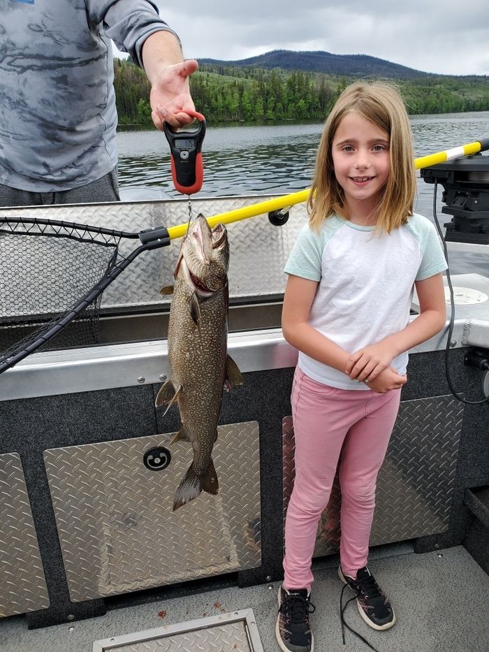
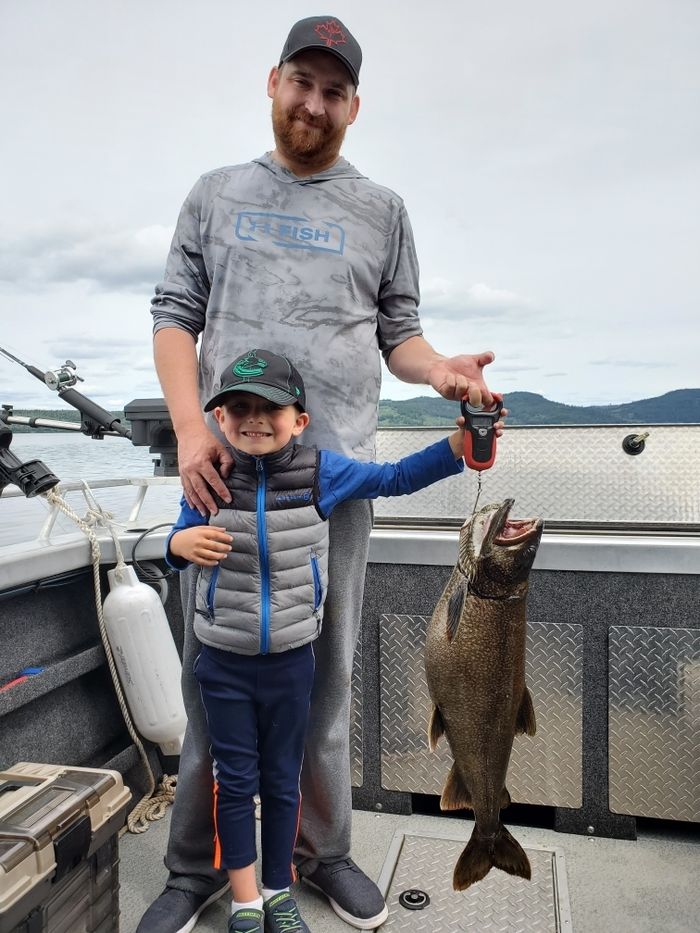
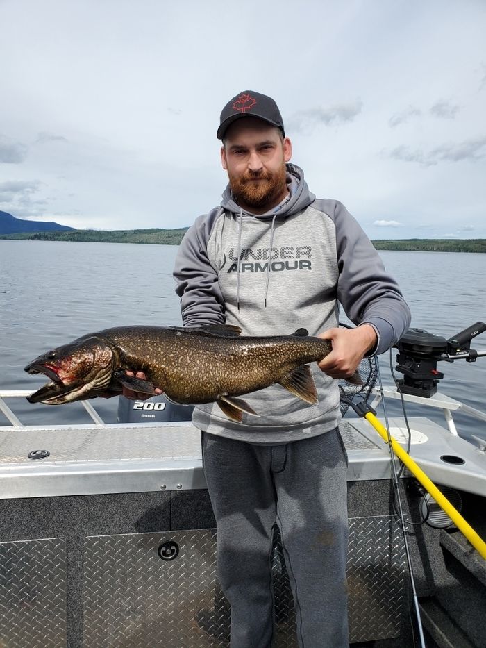
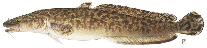
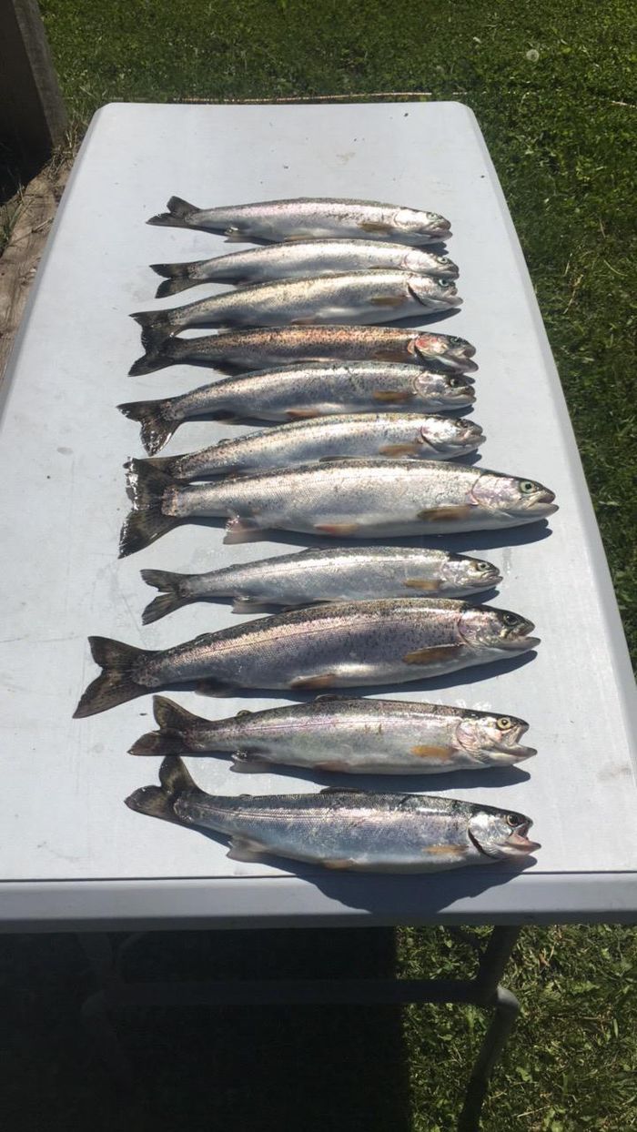
The most popular species caught here are Rainbow Trout, Lake Trout, and Burbot. Please use your best judgement when determining where you can fish, and make sure you follow local rules and regulations.
What does FRANCOIS LAKE have?
Our members have marked 4 Other Markers and 5 Boat Launches at FRANCOIS LAKE. You can view these markers on the map.


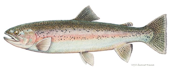
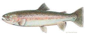 Rainbow Trout
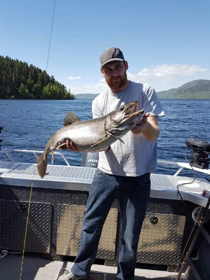
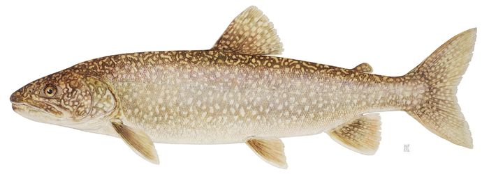
  Lake Trout
 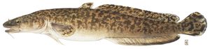 Burbot
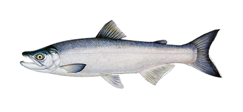
 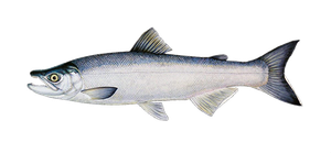 Kokanee
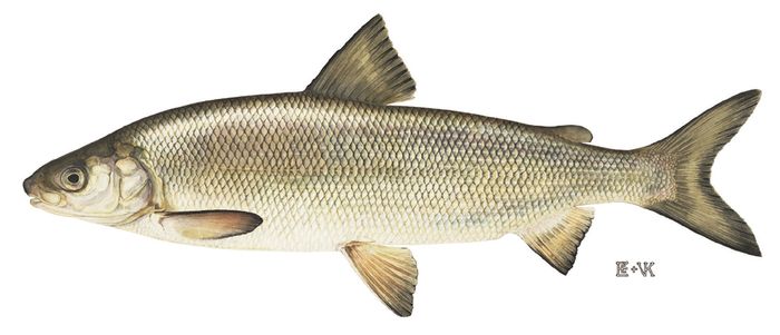
 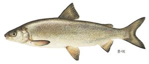 Lake Whitefish
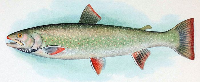
 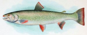 Dolly Varden
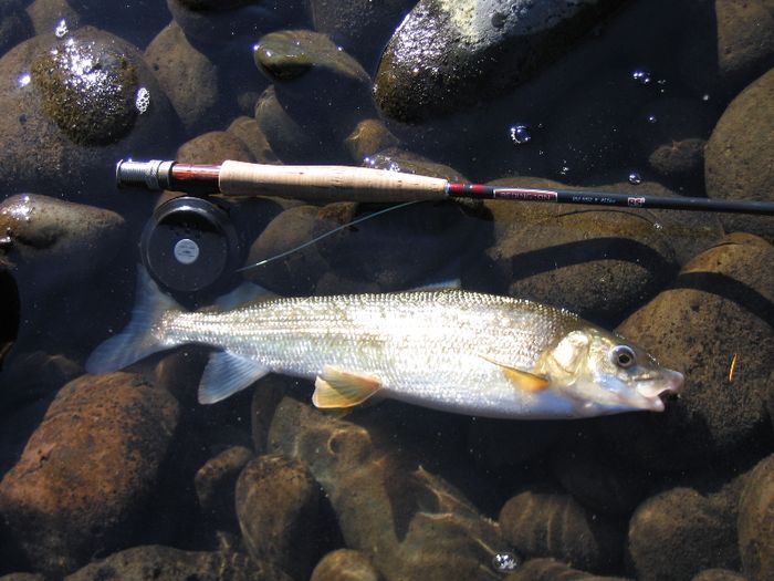
 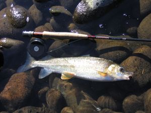 Mountain Whitefish
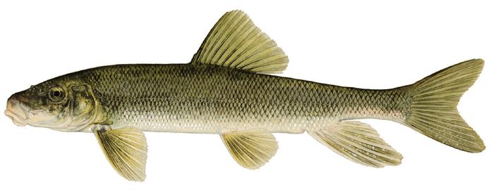
 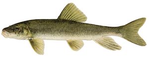 White Sucker
 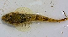 Prickly Sculpin
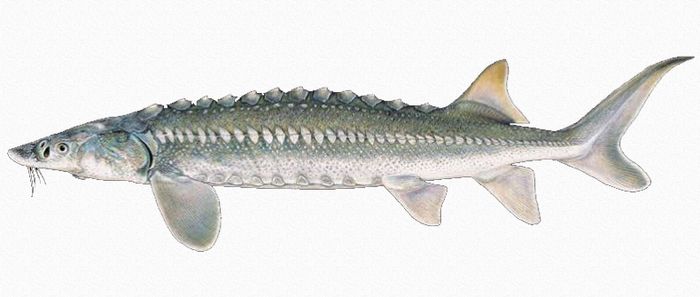
 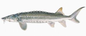 White Sturgeon
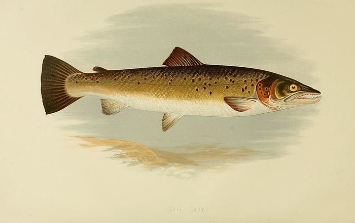
 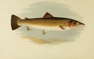 Bull Trout
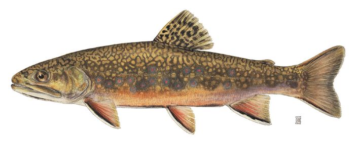
 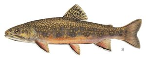 Brook Trout

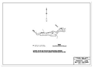
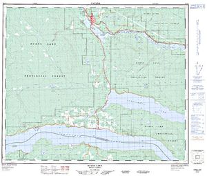
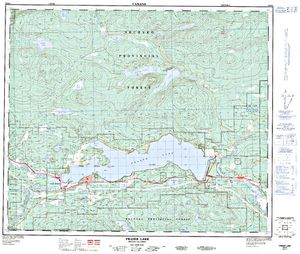
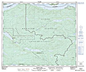
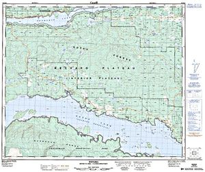
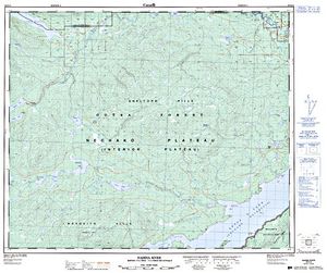
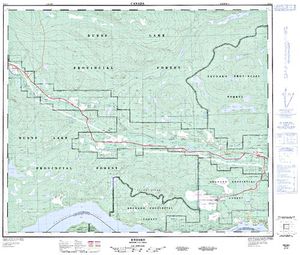
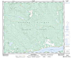
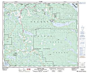
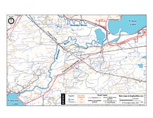
Free Maps (16)
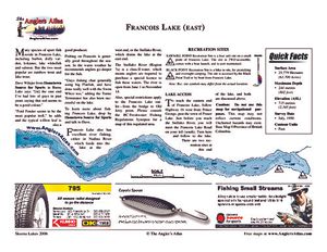
Lodging and Camping
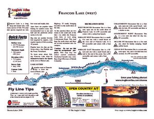
Francois Lake Provincial Park is a mostly coniferous forests and is located on the on the east end of a lake by the same name, Francois Lake. This provincial park protects 25 kilometres of shoreline and has many animals including mammals, birds, and fish; in the winter you will probably see moose. There are many activities to do here including boating, fishing, camping (it is rustic), and picnicking (there are picnic facilities). Park Size: 7,214 hectares
Francois Lake Provincial Park is on the east end of a lake by the same name and is about 12 kilometres from Highway 16, southwest of Fraser Lake. Driving Directions from Faser Lake: You want to drive west on Hwy 16 for 3.3 kilometres, then turn left onto the Francois Lake Road, follow that for 7.2 kilometres before tuning left onto the Nithi Road, then you want to follow that for 1.8 kilometres and then turn right onto Dahlgren Road, then follow this road for 4.4 kilometres around the east end of Francois Lake to the campsite and you will have arrived at your destination. Driving Directions from Burns Lake: You want to go east along Hwy 16 to Endako; then from the ease side of Endako head south on the Endako Mine Road to the Francois Lake Road and then turn left; following this you want to take this road through Glennanan, over the Stellako River, and then 2.75 kilometres further to the Nithi Road. Look at the above directions for the remainder of the tip and you will have arrived at you destination.
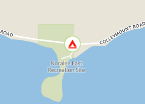
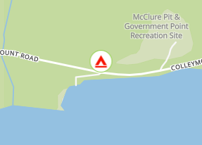
This is a six-unit site on Francois Lake with picnic tables, fire rings, pit toilets and a gravel boat launch. There is a hiking trail around a peninsula that has a few small beaches for swimming and a rock bluff with a view out over the lake. This site is well situated for fishing and exploring Francois Lake including some of the nearby islands. This area was originally designated for an assistant ranger station site in 1956-57.
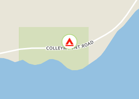
Colleymount Rd.
From Northside ferry landing head west ~47 km along Colleymount Road.
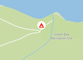
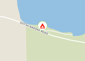
User Feed

Other Marker Added
|width:0|53.9656817,-126.5055288|54.0597735,-126.5055288|54.0597735,-124.9784979|53.9656817,-124.9784979|53.9656817,-126.5055288)

Other Marker Added
|width:0|53.9656817,-126.5055288|54.0597735,-126.5055288|54.0597735,-124.9784979|53.9656817,-124.9784979|53.9656817,-126.5055288)









Boat Launch Marker Added
|width:0|53.9656817,-126.5055288|54.0597735,-126.5055288|54.0597735,-124.9784979|53.9656817,-124.9784979|53.9656817,-126.5055288)