Events
  Places
  Fish
Fish  Research
  Sign in
  New Catch Log
  New Trip Log
 Where is Lake Manitou?
Lake Manitou (45.7729, -81.9990), located in Zone 10, Ontario, Canada spans 10628.8 hectares (approximately 26265 acres or 106.3 square kilometers).
Which fish can I catch at Lake Manitou?
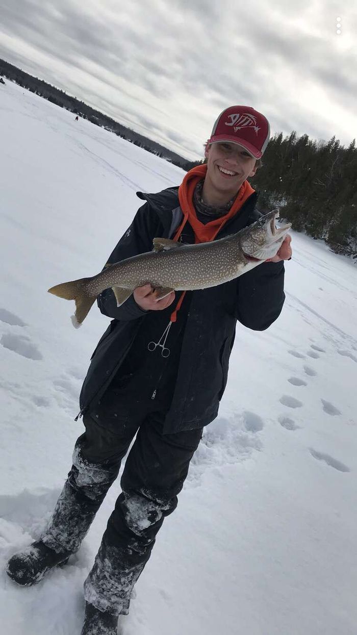
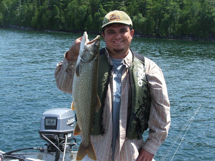
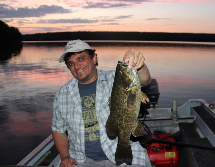
The most popular species caught here are Lake Trout, Walleye, and Smallmouth Bass. Please use your best judgement when determining where you can fish, and make sure you follow local rules and regulations.
What does Lake Manitou have?
Our members have marked 4 Boat Launches and 1 Other Marker at Lake Manitou. You can view these markers on the map.


Species
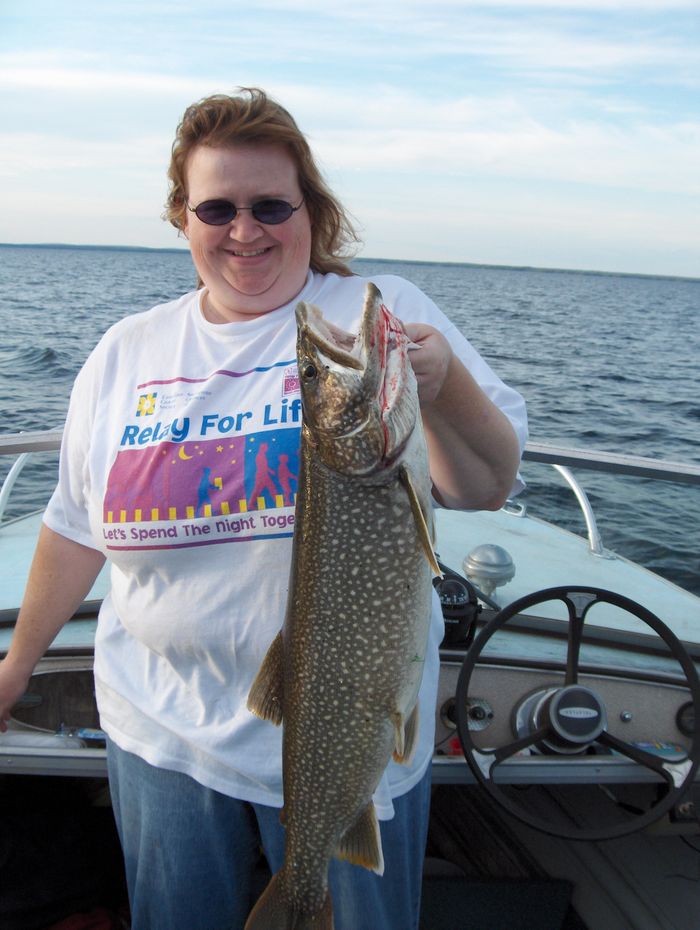
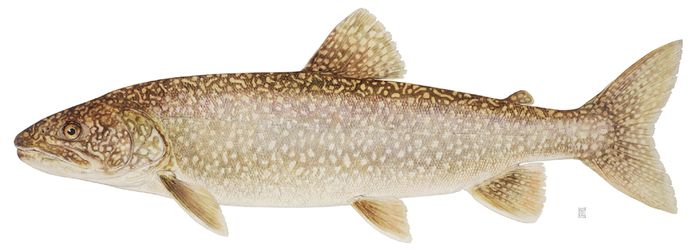
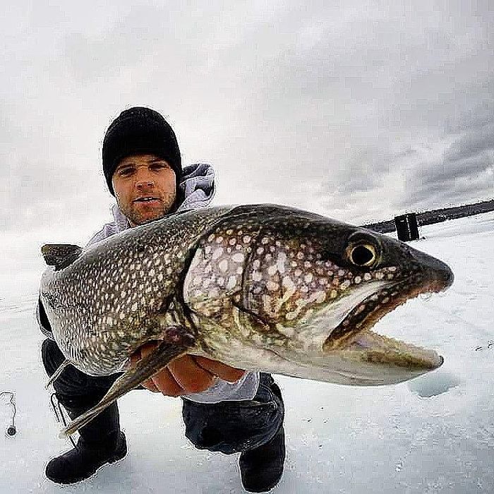
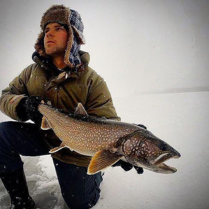
 Lake Trout
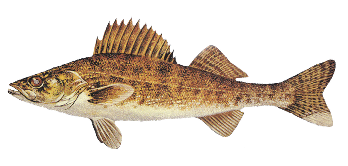
 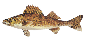 Walleye
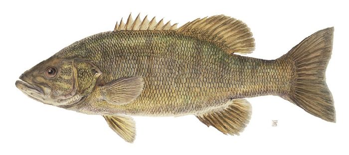
 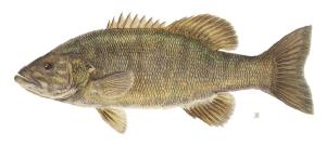 Smallmouth Bass
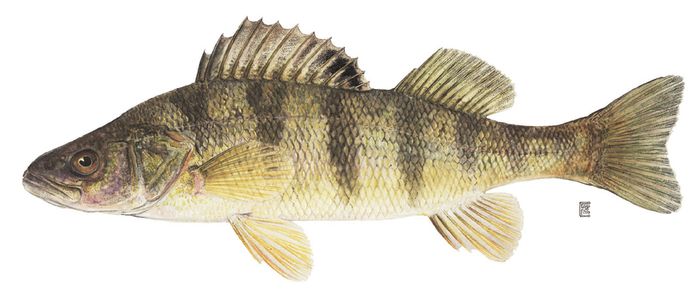
 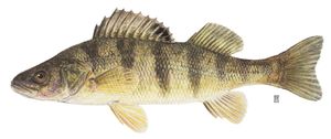 Yellow Perch
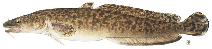
 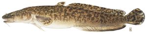 Burbot
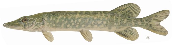
 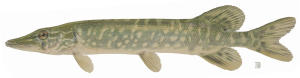 Northern Pike
  Round Goby
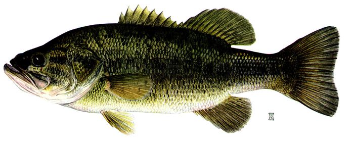
 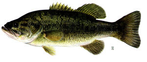 Largemouth Bass
 About Lake Manitou
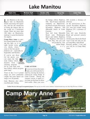
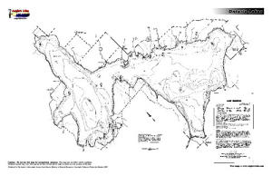
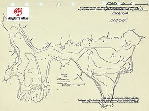
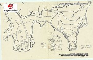
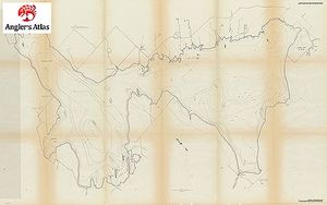
Lake Manitou, the largest lake on Mantoulin Island in northern Lake Huron at 104 sq. km, has the distinction of being the largest lake in the world on a freshwater island. There are more than 100 lakes on Manitoulin, making it a great destination for anglers.
Camp Mary Anne, on Lake Manitou, notes that they have the best jumbo perch run in the lake, especially in September and October.
If you’re not there for the perch, you’ll be after the lake trout, which are stocked in the lake, or the bass, which are large.
Trout in the 2- to 6-lb. range are most commonly caught, but lakers can range up to the 20s and 30s.
Lake Manitou, with lots of other outlying lakes, offers excellent pike fishing.
LAKE ACCESS
If you travel from the mainland, you will reach the Island by crossing the historic railway/car swing bridge at Little Current. During the summer season, it opens every hour on the hour to allow boat traffic. Once you cross the bridge, follow Highway 540. You’ll head somewhat southerly on Manitowaning Road towards Provincial Secondary Highway 540 (Meredith Street in Little Current).
Turn left from Meredith Street onto Worthington Street and follow Highway 540. Highway 540 leads to Gore Bay, but you will not go that far. You follow Highway 540 westerly a distance of 29.6 km.
At the intersection of Provincial Secondary Highway 551, turn left (south) along Highway 551, a distance of 6.8 km.
Turn left onto Rockville Road and proceed easterly 2.6 km.
At that point, Rockville Road veers to the left and you are at Camp Mary Anne Road.
Proceed another .5 km and you will be at Camp Mary Anne.


Lodging and Camping
User Feed




Boat Launch Marker Added
|width:0|45.6949027,-82.114984|45.8688445,-82.114984|45.8688445,-81.8660328|45.6949027,-81.8660328|45.6949027,-82.114984)







Boat Launch Marker Added
|width:0|45.6949027,-82.114984|45.8688445,-82.114984|45.8688445,-81.8660328|45.6949027,-81.8660328|45.6949027,-82.114984)


Boat Launch Marker Added
|width:0|45.6949027,-82.114984|45.8688445,-82.114984|45.8688445,-81.8660328|45.6949027,-81.8660328|45.6949027,-82.114984)

Other Marker Added
|width:0|45.6949027,-82.114984|45.8688445,-82.114984|45.8688445,-81.8660328|45.6949027,-81.8660328|45.6949027,-82.114984)
Boat Launch Marker Added
|width:0|45.6949027,-82.114984|45.8688445,-82.114984|45.8688445,-81.8660328|45.6949027,-81.8660328|45.6949027,-82.114984)