Events
  Places
  Fish
Fish  Research
  Sign in
  New Catch Log
  New Trip Log
 Where is Miramichi River?
Miramichi River (46.9211, -65.7266), located in New Brunswick, New Brunswick, Canada spans 10196.6 hectares (approximately 25197 acres or 102 square kilometers).
Which fish can I catch at Miramichi River?
The most popular species caught here are Striped Bass, Brook Trout, and Atlantic Salmon. Please use your best judgement when determining where you can fish, and make sure you follow local rules and regulations.
What does Miramichi River have?
Our members have marked 1 Boat Launch and 1 Warning at Miramichi River. You can view these markers on the map.


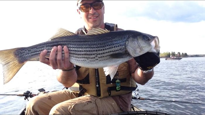
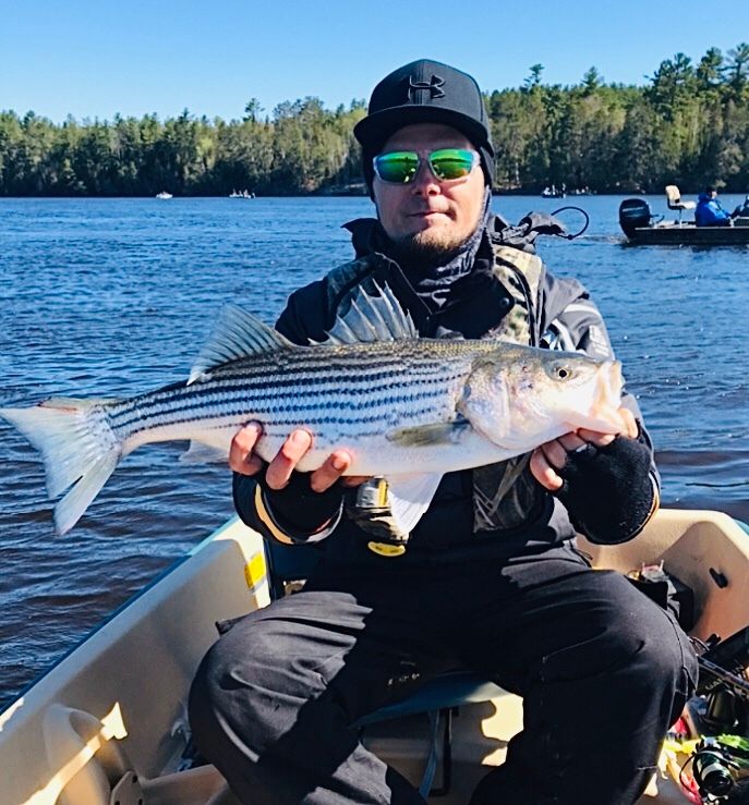
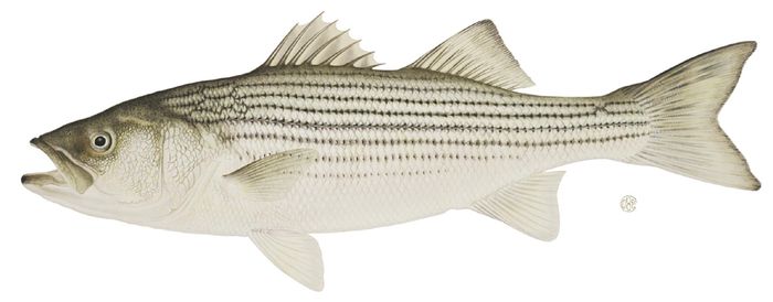
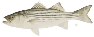 Striped Bass
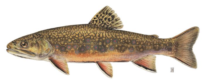
 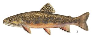 Brook Trout
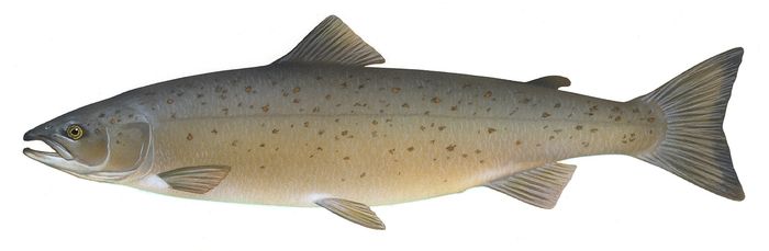
 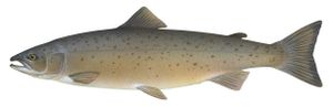 Atlantic Salmon
 About Miramichi River
Some people claim that the Miramichi is the “mother” of all salmon streams, and certainly this claim is not too far-fetched. The Miramichi River has been said to produce more Atlantic salmon than any other river in the world.
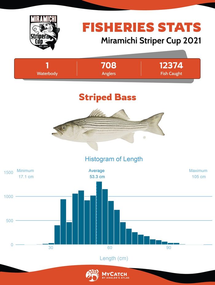
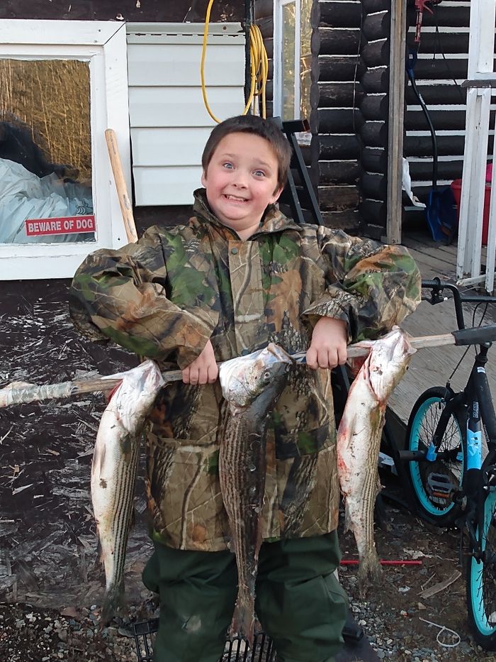
But don’t just go for the salmon. Brook trout and striped bass round out the fishing season with high catch rates and large fish. The Miramichi Striper Cup Bass Tournament is a huge event, held annually on the river.
The Miramichi River’s tributaries are integral to the main river’s productivity. While much of the main river is privately-owned, the tributaries are open for fishing in many spots, where you can reach them. Some of these places are difficult to access, or see low fishing pressure, which helps to preserve the river’s fish stocks.
Salmon fishing is fly fishing only. As well, non-residents require a guide when salmon fishing in New Brunswick. It is well worth your time to hire a guide as well if you are new to fishing, or even just new to fishing the Miramichi River.
Because much of the river is owned privately, it’s important to know where you can fish legally. Please keep in mind that to the best of our knowledge, these are public fishing spots, however, it is important to use this information combined with solid local information.
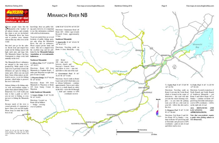
To get you started, here are several locations of public fishing spots, not only along the Miramichi River, but also its tributaries. Please respect private lands and waters. This list is adapted from the excellent map and list published by the Miramichi Salmon Association, at www.miramichisalmon.ca.
Northwest Miramichi:
1) Allisons Run: N 47° 12.609 W -65° 49.071
Directions: Route 430 from Miramichi to Urquhart Road – 2 miles past Wayerton on right (last part of road is rough)
2) Wayerton Bridge: N 47° 08.108 W -65° 49.943
Directions: Route 430 from Miramichi to Wayerton or Route 425 from Sunny Corner to Wayerton
Little Southwest Miramichi:
3) Somers Bridge: N 46° 56.120 W -65° 54.492
Directions: Located on Route 420 in Sillikers – bridge crossing over to Lyttleton
4) 94: N 46° 52.915 W -66° 05.529
Directions: Catarmaran Road off Route 420 – follow sign towards Research Centre, approximately 5.5 km
Southwest Miramichi:
5) Quarryville: N 46° 49.416 W -65° W 47.379
Directions: Traveling north on Route 8 from Blackville – exit onto Route 108 – take street between church and Dawson’s General Store and follow to river – turn left and follow to the end of the road
6) Government Pool: N 46° 36.473 W -65° 53.481
Directions: Travel south on Route 8 past road on left which takes you to Arbeau Settlement – continue approximately 3 km to next valley (there is a small church in valley on the left) – exit to the left through field and continue to GPS coordinates on river
7) Cache Pool: N 46° 27.685 W -66° 24.750
Directions: Traveling south on Route 8 exit onto the Cache Road which is located in the centre of Boiestown – this road will take you into the seniors housing complex – as you enter the parking road, you will see a dirt road on your left – follow this dirt road to the river
8) Dungeon Pool: N 46° 31.349 W -67° 08.604
Directions: Exit Route 8 and follow Route 107 to Stanley – continue on Route 107 past Irving mill at Deersdale and proceed to GPS coordinates – park on side of road and follow trail to river
9) Forks Pool: N 46° 31.129 W -67° 09.158
Directions: Located at junction of North Branch and South Branch of Southwest Miramichi – exit Route 8 and follow Route 107 to Stanley – continue on Route 107 past Irving Deersdale mill and proceed to GPS coordinates – will be on the right side of road
ALL DISTANCES AND LOCATIONS ARE APPROXIMATIONS.
Note that non-residents require a guide when fishing salmon in New Brunswick.

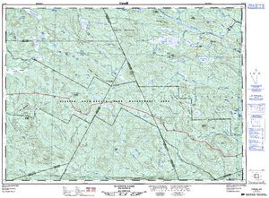
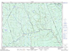
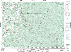
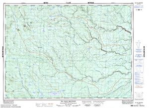
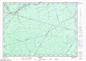
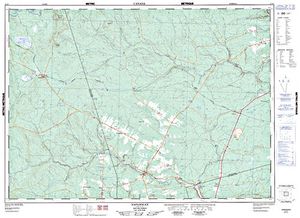
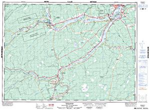
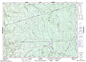
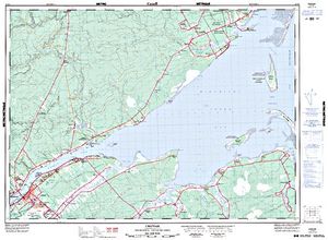
Free Maps (15)

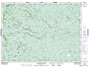
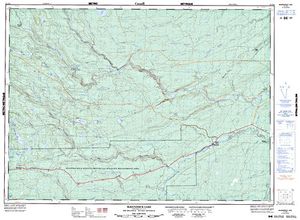
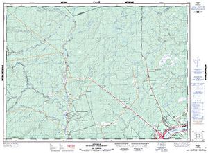
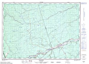

Lodging and Camping
User Feed


Boat Launch Marker Added
|width:0|46.454729085,-67.170687418|47.270898975,-67.170687418|47.270898975,-65.271845822|46.454729085,-65.271845822|46.454729085,-67.170687418)


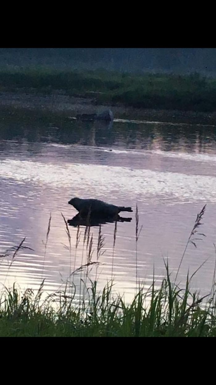

Warning Marker Added
|width:0|46.454729085,-67.170687418|47.270898975,-67.170687418|47.270898975,-65.271845822|46.454729085,-65.271845822|46.454729085,-67.170687418)