Events
  Places
  Fish
Fish  Research
  Sign in
  New Catch Log
  New Trip Log
 Where is Kashwakamak Lake?
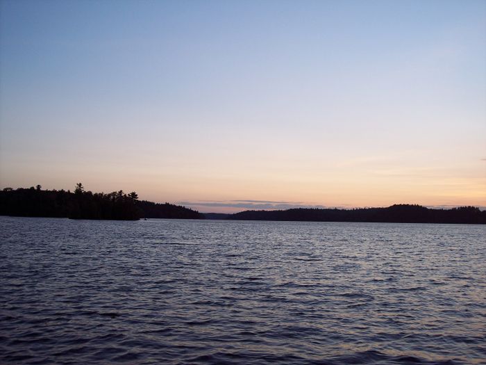
Kashwakamak Lake (44.8566, -77.0389), located in Zone 18, Ontario, Canada spans 1200.1 hectares (approximately 2966 acres or 12 square kilometers).
Which fish can I catch at Kashwakamak Lake?
The most popular species caught here are Largemouth Bass, Walleye, and Northern Pike. Please use your best judgement when determining where you can fish, and make sure you follow local rules and regulations.
What does Kashwakamak Lake have?
Our members have marked 6 Boat Launches, 2 Other Markers, and 1 Warning at Kashwakamak Lake. You can view these markers on the map.


Species
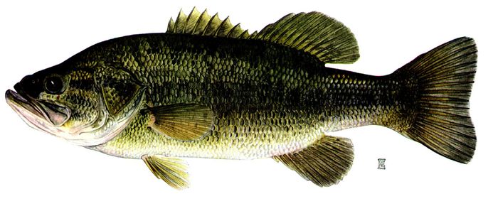
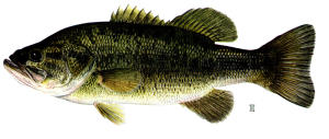 Largemouth Bass
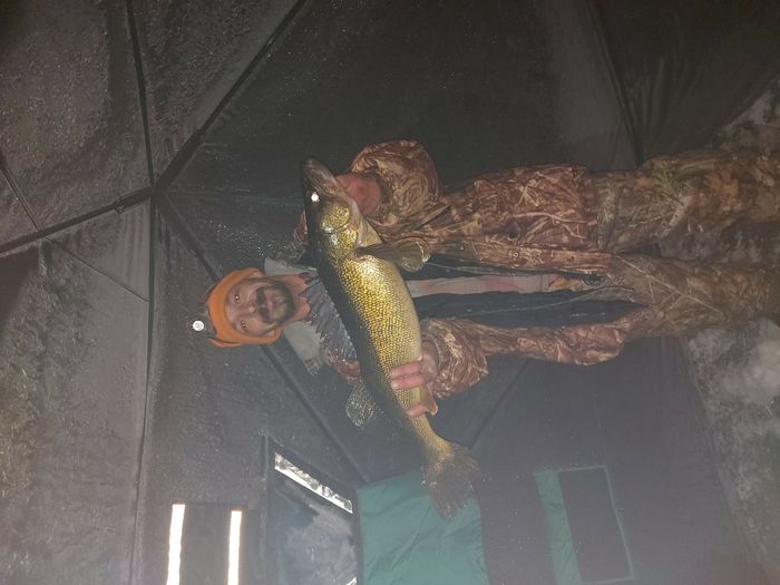
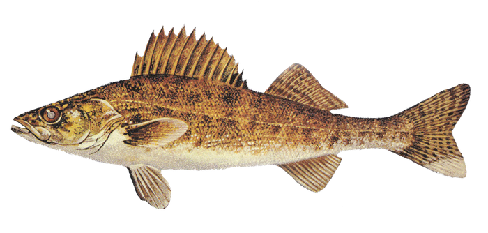
 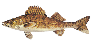 Walleye
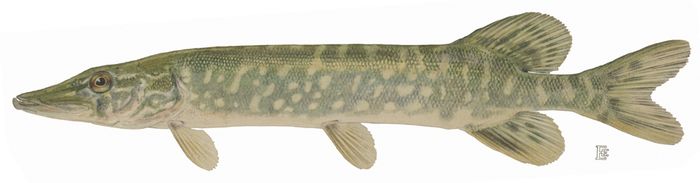
 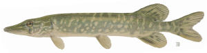 Northern Pike
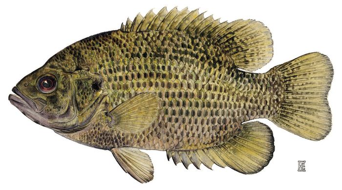
 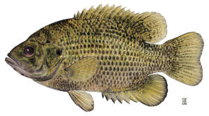 Rock Bass
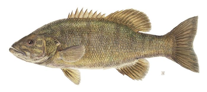
 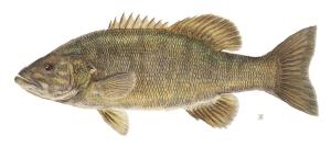 Smallmouth Bass
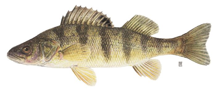
 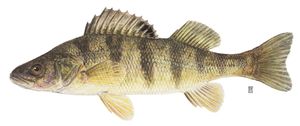 Yellow Perch
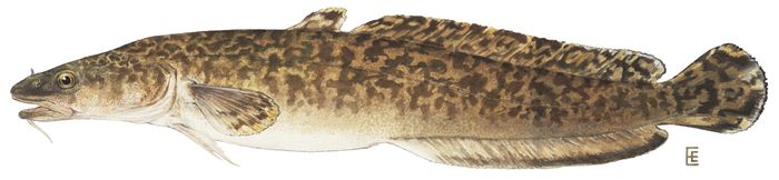
 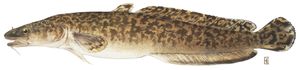 Burbot
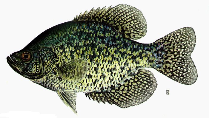
 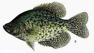 Black Crappie
 About Kashwakamak Lake
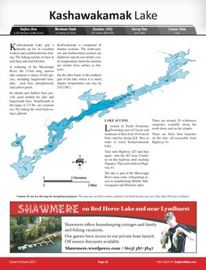
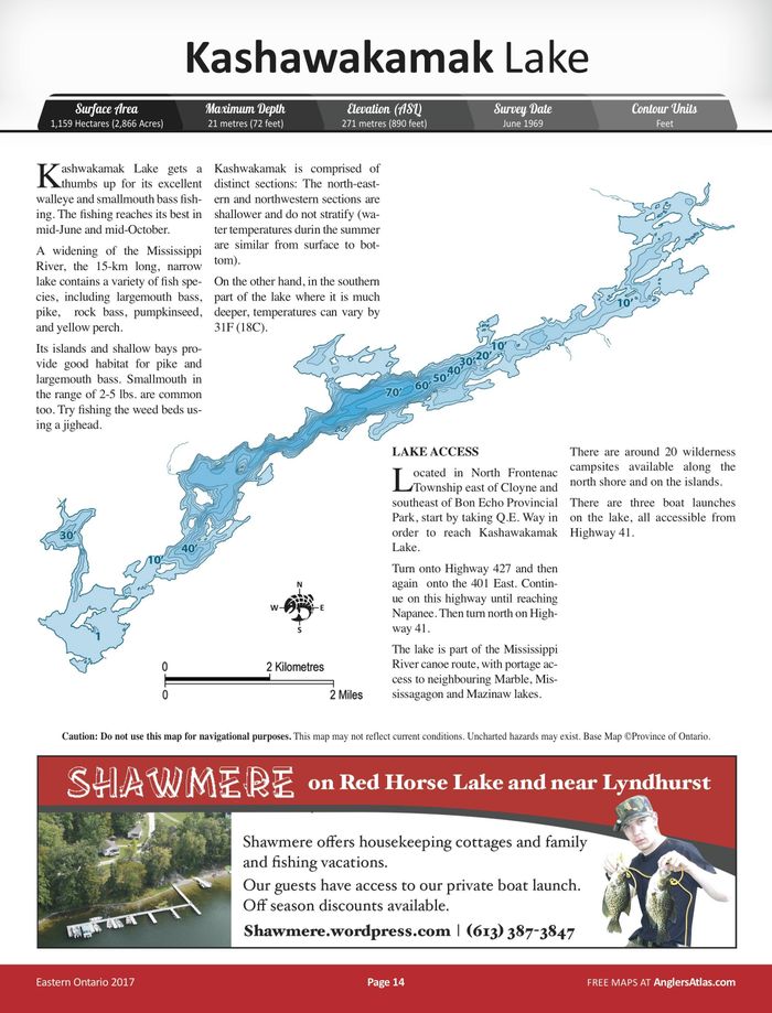
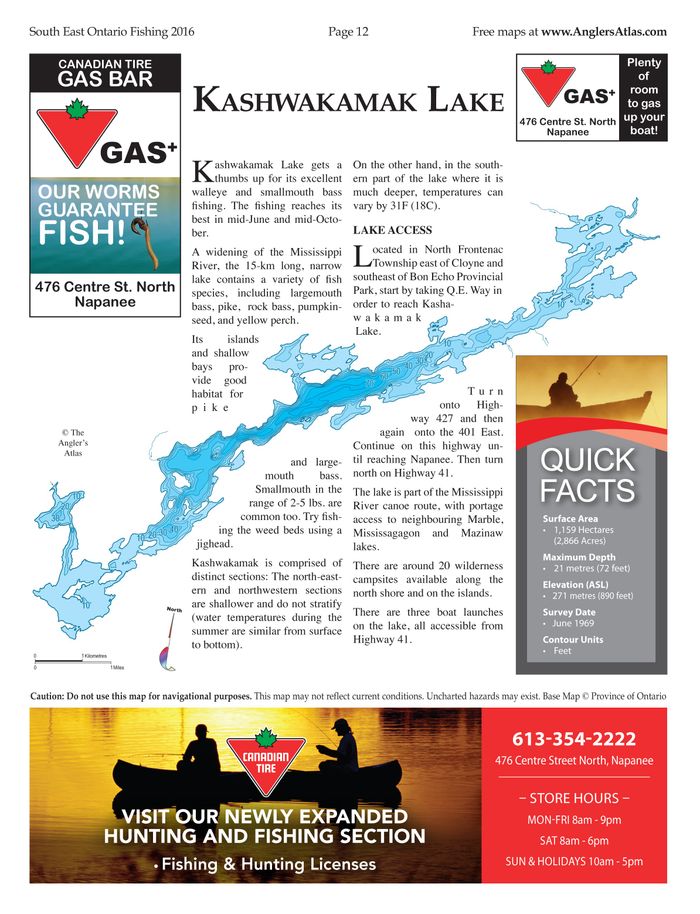
Kashwakamak Lake gets a thumbs up for its excellent walleye and smallmouth bass fishing. The fishing reaches its best in mid-June and mid-October.
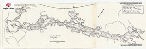
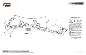
A widening of the Mississippi River, the 15-km long, narrow lake contains a variety of fish species, including largemouth bass, pike, rock bass, pumpkinseed, and yellow perch.
Its islands and shallow bays provide good habitat for pike and largemouth bass. Smallmouth in the range of 2-5 lbs. are common too. Try fishing the weed beds using a jighead.
Kashwakamak is comprised of distinct sections: The north-eastern and northwestern sections are shallower and do not stratify (water temperatures during the summer are similar from surface to bottom).
On the other hand, in the southern part of the lake where it is much deeper, temperatures can vary by 31F (18C).
LAKE ACCESS
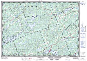
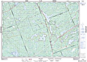
Located in North Frontenac Township east of Cloyne and southeast of Bon Echo Provincial Park, start by taking Q.E. Way in order to reach Kashawakamak Lake.
Turn onto Highway 427 and then again onto the 401 East. Continue on this highway until reaching Napanee. Then turn north on Highway 41.
The lake is part of the Mississippi River canoe route, with portage access to neighbouring Marble, Mississagagon and Mazinaw lakes.
There are around 20 wilderness campsites available along the north shore and on the islands.
There are three boat launches on the lake, all accessible from Highway 41.
Lodging and Camping
User Feed


Boat Launch Marker Added
|width:0|44.8134385,-77.1205012|44.8944086,-77.1205012|44.8944086,-76.9517845|44.8134385,-76.9517845|44.8134385,-77.1205012)
Boat Launch Marker Added
|width:0|44.8134385,-77.1205012|44.8944086,-77.1205012|44.8944086,-76.9517845|44.8134385,-76.9517845|44.8134385,-77.1205012)
Boat Launch Marker Added
|width:0|44.8134385,-77.1205012|44.8944086,-77.1205012|44.8944086,-76.9517845|44.8134385,-76.9517845|44.8134385,-77.1205012)
Boat Launch Marker Added
|width:0|44.8134385,-77.1205012|44.8944086,-77.1205012|44.8944086,-76.9517845|44.8134385,-76.9517845|44.8134385,-77.1205012)
Boat Launch Marker Added
|width:0|44.8134385,-77.1205012|44.8944086,-77.1205012|44.8944086,-76.9517845|44.8134385,-76.9517845|44.8134385,-77.1205012)

Other Marker Added
|width:0|44.8134385,-77.1205012|44.8944086,-77.1205012|44.8944086,-76.9517845|44.8134385,-76.9517845|44.8134385,-77.1205012)
Other Marker Added
|width:0|44.8134385,-77.1205012|44.8944086,-77.1205012|44.8944086,-76.9517845|44.8134385,-76.9517845|44.8134385,-77.1205012)
Other Marker Added
|width:0|44.8134385,-77.1205012|44.8944086,-77.1205012|44.8944086,-76.9517845|44.8134385,-76.9517845|44.8134385,-77.1205012)

Warning Marker Added
|width:0|44.8134385,-77.1205012|44.8944086,-77.1205012|44.8944086,-76.9517845|44.8134385,-76.9517845|44.8134385,-77.1205012)
Boat Launch Marker Added
|width:0|44.8134385,-77.1205012|44.8944086,-77.1205012|44.8944086,-76.9517845|44.8134385,-76.9517845|44.8134385,-77.1205012)