Events
  Places
  Fish
Fish  Research
  Sign in
  New Catch Log
  New Trip Log
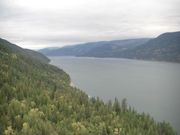
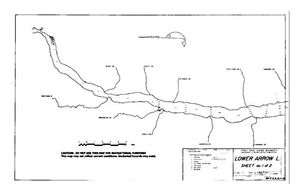
 Where is LOWER ARROW LAKE?
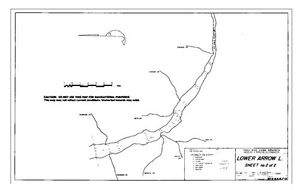
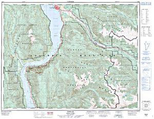
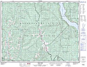
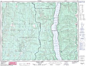
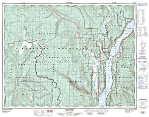
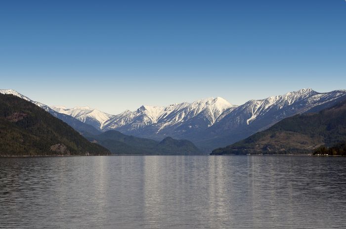
LOWER ARROW LAKE (49.6800, -118.0605), located in Kootenay Region, British Columbia, Canada spans 19246.8 hectares (approximately 47561 acres or 192.5 square kilometers).
Which fish can I catch at LOWER ARROW LAKE?
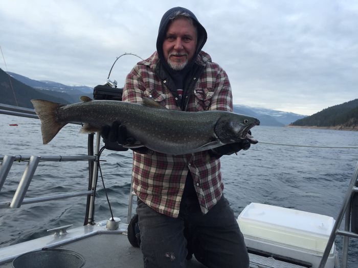
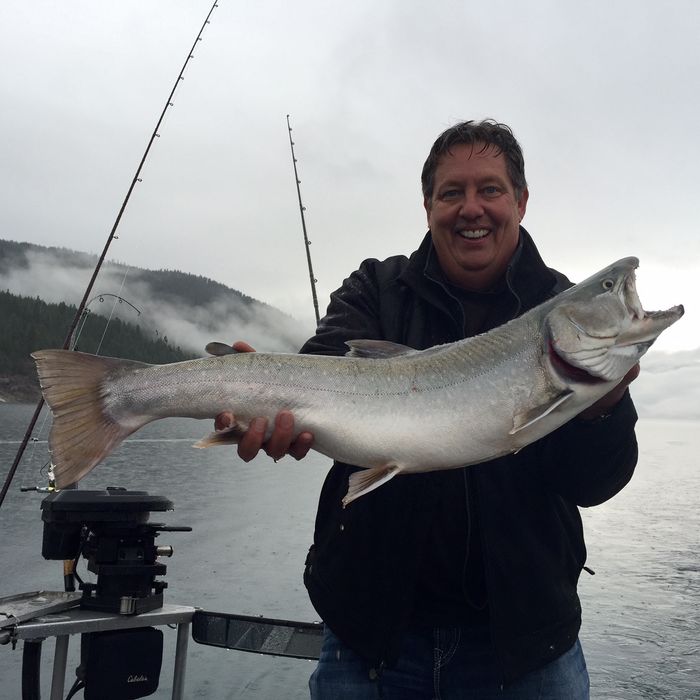
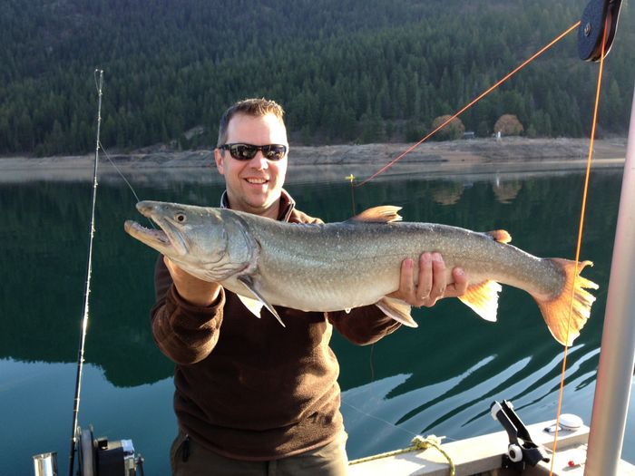
The most popular species caught here are Rainbow Trout, Dolly Varden, and Burbot. Please use your best judgement when determining where you can fish, and make sure you follow local rules and regulations.
What does LOWER ARROW LAKE have?
Our members have marked 2 Boat Launches and 1 Other Marker at LOWER ARROW LAKE. You can view these markers on the map.


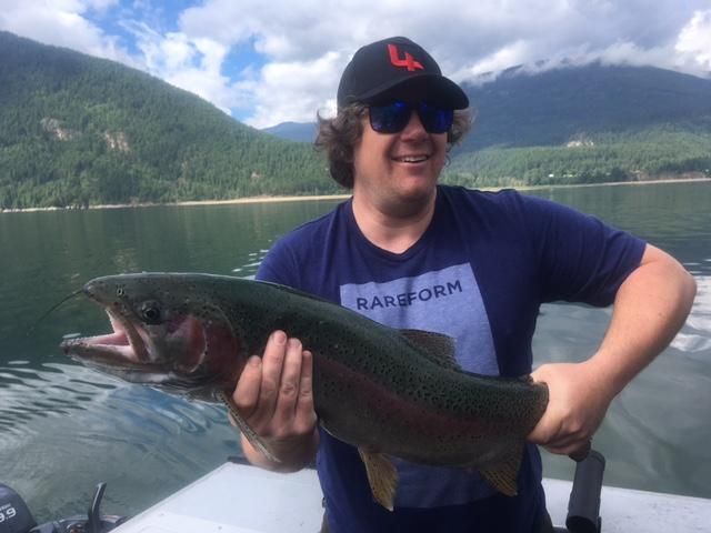
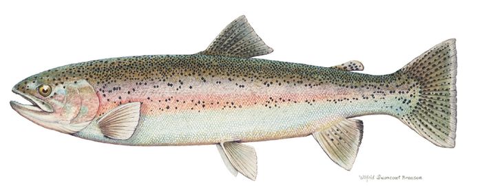
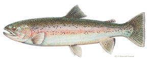 Rainbow Trout
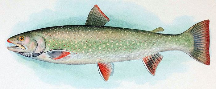
 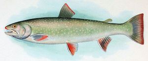 Dolly Varden
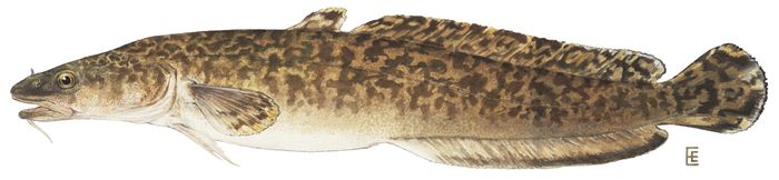
 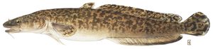 Burbot
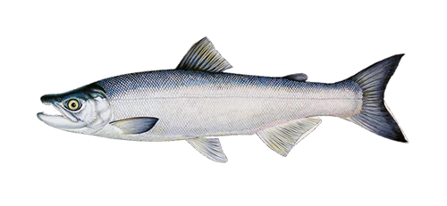
 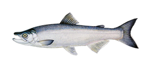 Kokanee
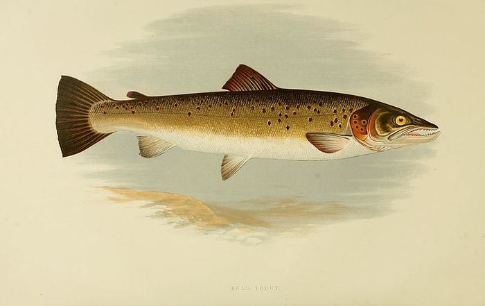
 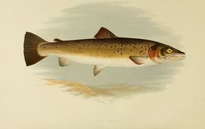 Bull Trout
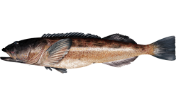
 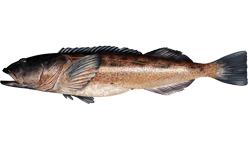 Lingcod
Lodging and Camping
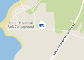
Burton Historical Park Campground is one of the best kept secrets of the Kootenays. This lakeside campground offers a peaceful, relaxing and family-oriented atmosphere. The sites are spacious with views of Arrow Lake and surrounding mountains. Campers have access to beach and boat launch. Centrally located to nearby attractions.
May 1 - Oct 15
145 Lakeview Park Road
36 km west Nakusp towards Fauquier/Needles; 22 km north Fauquier/Needles, Hwy 6
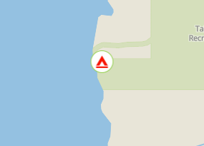
Taite Creek flows into Lower Arrow Lake. The recreation site is located on the north side of Taite Creek, on the shore of Lower Arrow Lake. It is a great spot to camp while fishing Lower Arrow Lake. During low water, there is a sand and cobble stone beach. The campsites are in a semi-open stand of mature trees. There is lots of opportunity to camp on the beach. The water warms up later in the summer and is quite pleasant for swimming and board sailing. Perennial sweet peas along the shore hint at the old settlements that were here, before the area was flooded by the Hugh Keenleyside Dam. For the back roads traveller, Taite Creek makes a good rest stop on the rough 4 wheel drive road that goes over the Valkyr Range. This road ties into the "Koch Creek Forest Service Road" which leads down to the Slocan Valley.
From the junction of Highway 6 and "Applegrove Road" in Fauquier, travel south on "Applegrove Road" for 9.6 km on a good, 2 wheel drive, gravel road. 100 meters before the bridge over Taite Creek, turn right onto a dirt road. Follow this narrow, 2 wheel drive road for 1 km to the recreation site on the lake shore.
User Feed

Boat Launch Marker Added
|width:0|49.3347638,-118.1753293|50.0912995,-118.1753293|50.0912995,-117.7686689|49.3347638,-117.7686689|49.3347638,-118.1753293)

Boat Launch Marker Added
|width:0|49.3347638,-118.1753293|50.0912995,-118.1753293|50.0912995,-117.7686689|49.3347638,-117.7686689|49.3347638,-118.1753293)



Other Marker Added
|width:0|49.3347638,-118.1753293|50.0912995,-118.1753293|50.0912995,-117.7686689|49.3347638,-117.7686689|49.3347638,-118.1753293)