Events
  Places
  Fish
Fish  Research
  Sign in
  New Catch Log
  New Trip Log
 Where is HARRISON LAKE?
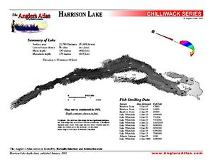
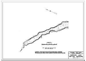
HARRISON LAKE (49.5195, -121.8665), located in Lower Mainland Region, British Columbia, Canada spans 22229.7 hectares (approximately 54932 acres or 222.3 square kilometers).
Which fish can I catch at HARRISON LAKE?
The most popular species caught here are Rainbow Trout, Northern Pikeminnow, and Lake Whitefish. Please use your best judgement when determining where you can fish, and make sure you follow local rules and regulations.
What does HARRISON LAKE have?
Our members have marked 3 Boat Launches and 1 Other Marker at HARRISON LAKE. You can view these markers on the map.


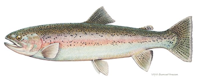
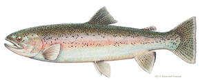 Rainbow Trout
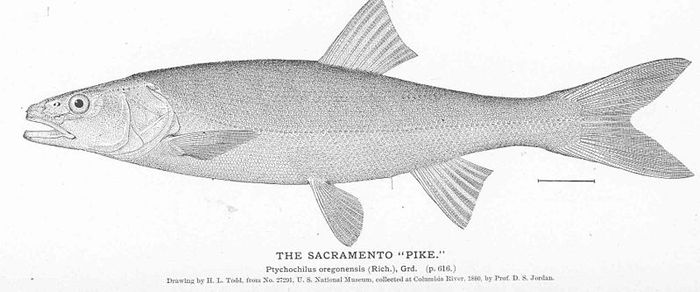
 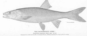 Northern Pikeminnow
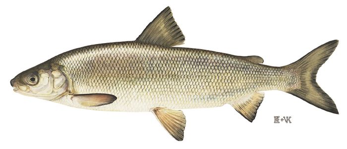
 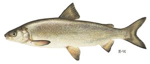 Lake Whitefish
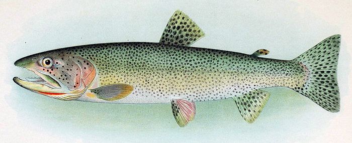
 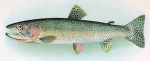 Cutthroat Trout
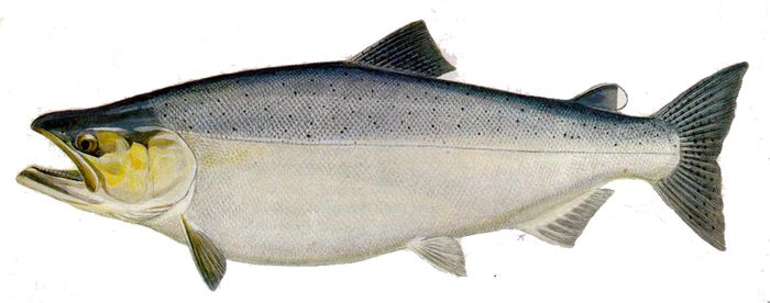
 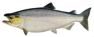 Chinook Salmon


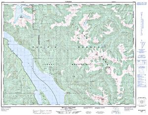
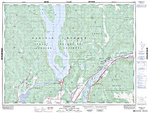
Lodging and Camping
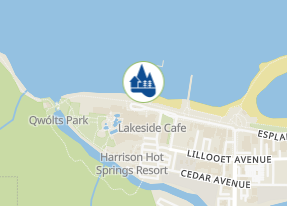
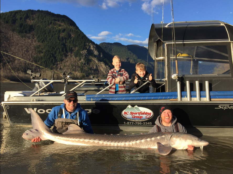
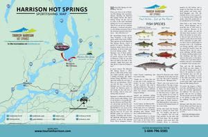
BC Sport Fishing Group Ltd. is the parent company of Harrison Bay Guided Services, Fred’s Fishing Adventures, BC Fly Fisher Guiding Company and Kodiak Fishing Adventures. Our guiding company was established 28 years ago and has grown from a one person operator base to a large guiding company that has 22 part and full-time fishing guides. BCSFG is located in the famous Harrison Hot Springs Resort & Spa located on the shores of Harrison Lake. This resort holiday destination offers world class salmon, steelhead, trout and sturgeon fishing charters right from the adventure park marina located directly in front of the Resort.
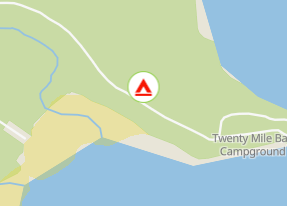
This is a large site on a sheltered point on the west shore of Harrison Lake with over 1 km of beautiful beach. The site has a boat launch suitable for small boats. Cash-only.
From Vancouver, take Lougheed Highway 7 to Harrison Mills and turn left onto Morris Valley Road. Travel along this road until you pass the Weaver Lake Fish Hatchery on your right. The pavement ends shortly thereafter. Travel along the gravel roadway another 2 km to the beginning of the Sts'Ailes Forest Service Road (formerly Harrison West FSR) and follow the kilometre markers. When you reach approximately 24.5 km keep left and continue to 33.5 km, where a sign indicates Twenty Mile Bay Recreation Site. At this sign turn right onto the road leading towards Harrison Lake. Drive 100 m and turn left onto the access road into the main site, cross a small stream and follow the road for about another 100 m, then turn right and follow the road into the site.

User Feed




Boat Launch Marker Added
|width:0|49.3039652,-122.1495144|49.7556005,-122.1495144|49.7556005,-121.7464492|49.3039652,-121.7464492|49.3039652,-122.1495144)


Other Marker Added
|width:0|49.3039652,-122.1495144|49.7556005,-122.1495144|49.7556005,-121.7464492|49.3039652,-121.7464492|49.3039652,-122.1495144)
Boat Launch Marker Added
|width:0|49.3039652,-122.1495144|49.7556005,-122.1495144|49.7556005,-121.7464492|49.3039652,-121.7464492|49.3039652,-122.1495144)
Boat Launch Marker Added
|width:0|49.3039652,-122.1495144|49.7556005,-122.1495144|49.7556005,-121.7464492|49.3039652,-121.7464492|49.3039652,-122.1495144)