Events
  Places
  Fish
Fish  Research
  Sign in
  New Catch Log
  New Trip Log
 Where is Graham River?
Graham River (56.4924, -122.8783), located in Peace Region, British Columbia, Canada spans 775.2 hectares (approximately 1915 acres or 7.8 square kilometers).
Which fish can I catch at Graham River?
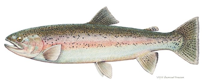
The most popular species caught here are Bull Trout and Rainbow Trout. Please use your best judgement when determining where you can fish, and make sure you follow local rules and regulations.
What does Graham River have?
No one has left markers on Graham River yet, you can add markers on the map.


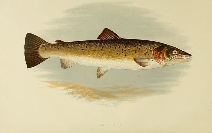
 Bull Trout
 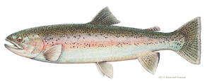 Rainbow Trout
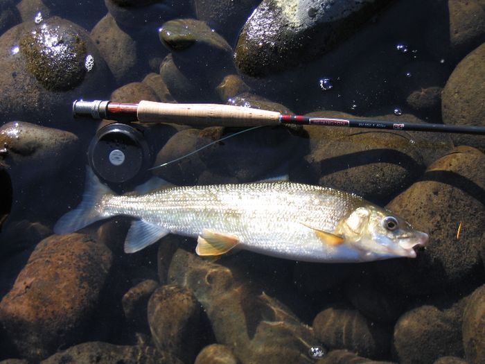
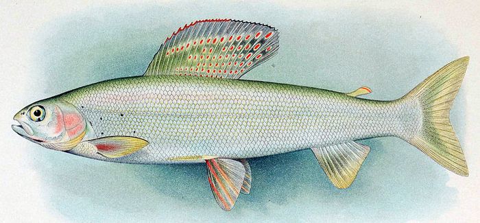
 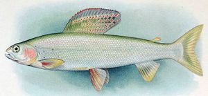 Arctic Grayling
 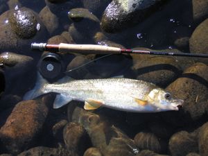 Mountain Whitefish
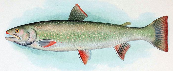
 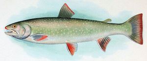 Dolly Varden
 About Graham River
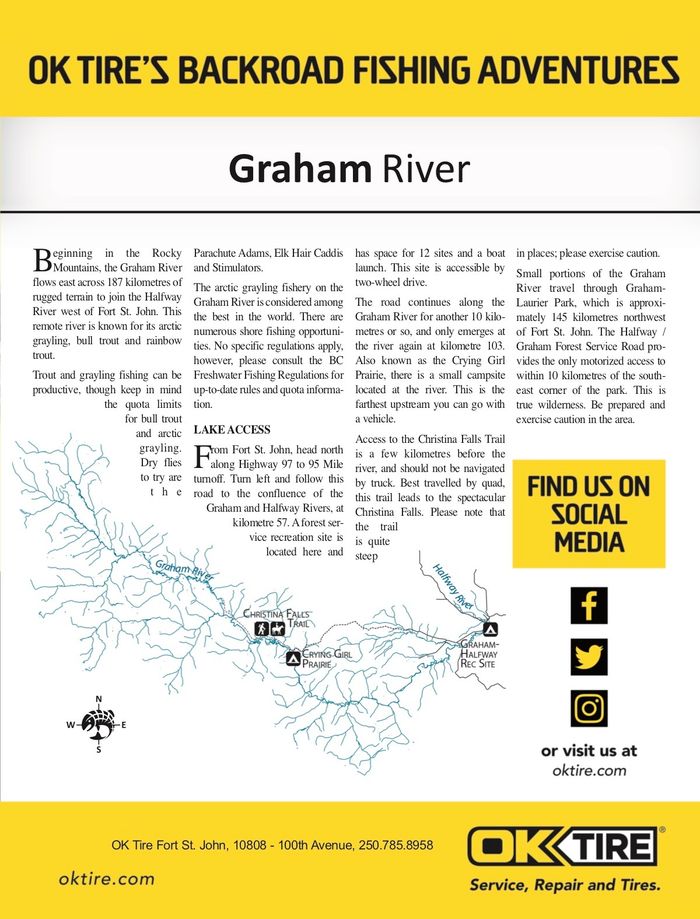
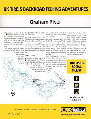
Beginning in the Rocky Mountains, the Graham River flows east across 187 kilometres of rugged terrain to join the Halfway River west of Fort St. John. This remote river is known for its arctic grayling, bull trout and rainbow trout. Trout and grayling fishing can be productive, though keep in mind the quota limits for bull trout and arctic grayling. Dry flies to try are the Parachute Adams, Elk Hair Caddis and Stimulators.
The arctic grayling fishery on the Graham River is considered among the best in the world. There are numerous shore fishing opportunities. No specific regulations apply, however, please consult the BC Freshwater Fishing Regulations for up-to-date rules and quota information.
ACCESS
From Fort St. John, head north along Highway 97 to 95 Mile turnoff. Turn left and follow this road to the confluence of the Graham and Halfway Rivers, at kilometre 57. A forest service recreation site is located here and has space for 12 sites and a boat launch. This site is accessible by two-wheel drive. The road continues along the Graham River for another 10 kilometres or so, and only emerges at the river again at kilometre 103. Also known as the Crying Girl Prairie, there is a small campsite located at the river. This is the farthest upstream you can go with a vehicle.
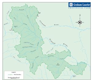
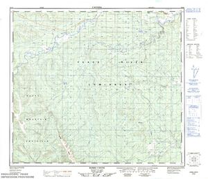
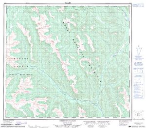
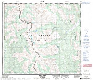
Access to the Christina Falls Trail is a few kilometres before the river, and should not be navigated by truck. Best travelled by quad, this trail leads to the spectacular Christina Falls. Please note that the trail is quite steep in places; please exercise caution. Small portions of the Graham River travel through Graham-Laurier Park, which is approximately 145 kilometres northwest of Fort St. John. The Halfway / Graham Forest Service Road provides the only motorized access to within 10 kilometres of the southeast corner of the park. This is true wilderness. Be prepared and exercise caution in the area.

Lodging and Camping
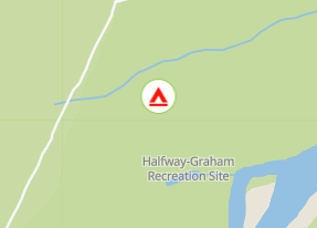
The site has 4 separate camping locations with 4 individual camping pads per location. The sites are mostly alongside the rivers edge.
From Fort St John, head north to the Upper Halfway Road. Turn west and drive for 50 km to the site.