 Events
  Places
  Fish
Fish  Research
  Sign in
  New Catch Log
  New Trip Log
 Where is MAXHAMISH LAKE?
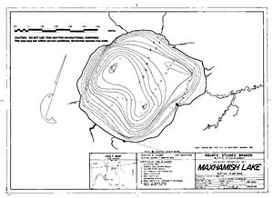
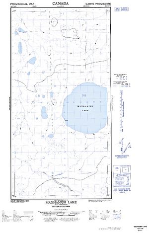
MAXHAMISH LAKE (59.8687, -123.2999), located in Peace Region, British Columbia, Canada spans 4804.2 hectares (approximately 11872 acres or 48 square kilometers).
Which fish can I catch at MAXHAMISH LAKE?
Not enough members have confirmed species for MAXHAMISH LAKE, add the species you know are in MAXHAMISH LAKE below. Please use your best judgement when determining where you can fish, and make sure you follow local rules and regulations.
What does MAXHAMISH LAKE have?
Our members have marked 1 Warning and 2 Other Markers at MAXHAMISH LAKE. You can view these markers on the map.


Species
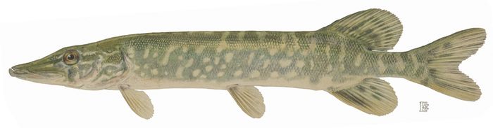
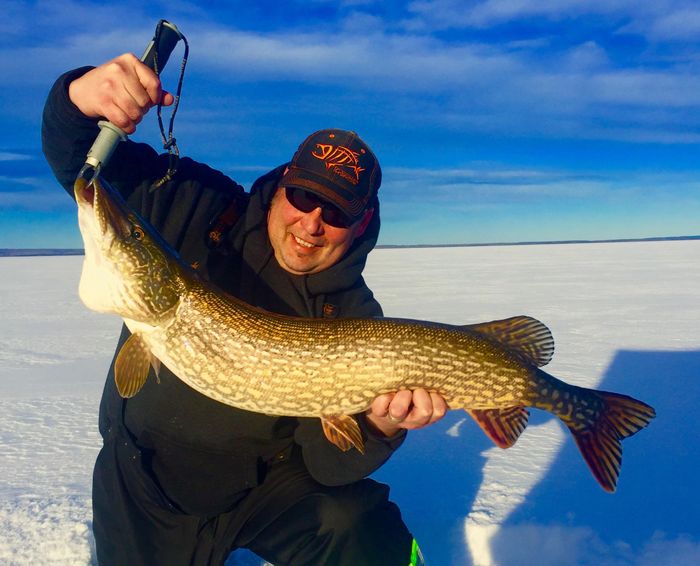
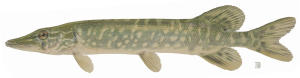 Northern Pike
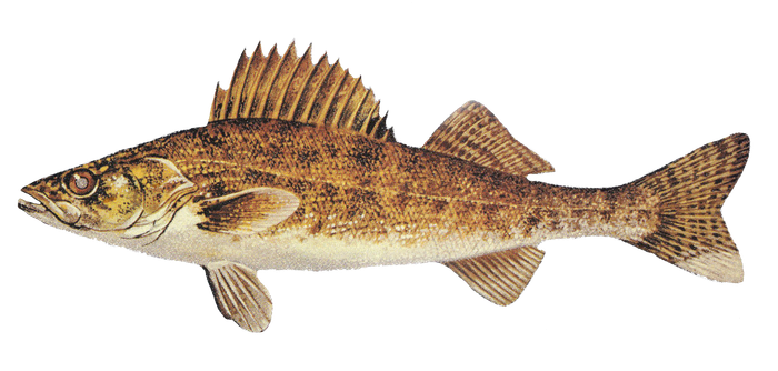
 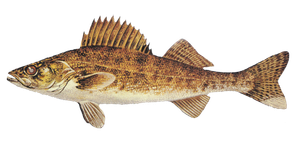 Walleye
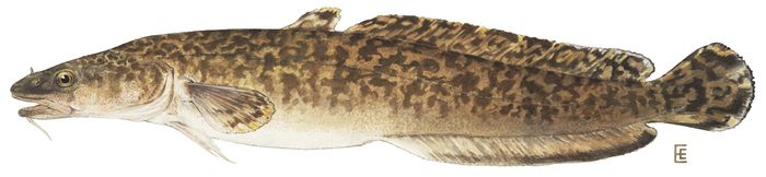
 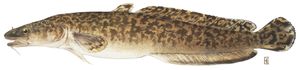 Burbot
 About MAXHAMISH LAKE
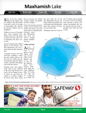
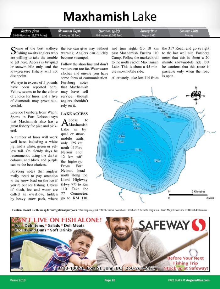
Some of the best walleye fishing awaits anglers who are willing to take the trouble to get here. Access is by quad or snowmobile only, and the low-pressure fishery will not disappoint.
Walleye in excess of 5 pounds have been reported here. Yellow seems to be the colour of choice for lures, and a five of diamonds may prove successful.
Lorence Forsberg from Wapiti Sports in Fort Nelson, says that Maxhamish also has a great fishery for pike and pickerel. A number of lures will work well here, including a white jig, and a white, green or yellow tail. On cloudy days he recommends using the darker colours, and black and purple can be the best choices.
Forsberg notes that anglers really need to pay attention to the snow load on the ice if you’re out ice fishing. Layers of slush, ice and water are called an overflow, hidden by heavy snow pack, where the ice can give way without warning. Anglers can quickly become swamped.
Follow the shoreline and don’t venture out too far. Wear warm clothes and ensure you have some form of communication. Forsberg notes that Maxhamish may have cell service, though anglers shouldn’t rely on it. For more information about Maxhamish and other lakes in the Fort Nelson area, visit Wapiti Sports in Fort Nelson and talk with Lorence Forsberg and the helpful staff there.
LAKE ACCESS
Access to Maxhamish Lake is by quad or snowmobile trails only, 125 km north of Fort Nelson and 12 km off the highway. From Fort Nelson, head north along the Liard Highway (Hwy 77) to Km 110. Take the 77 Connector, go to KM 110, and turn right. Go 10 km past Maxhamish Encana 110 Camp. Follow the marked trail to the north end of Maxhamish Lake. This is about a 45 minute snowmobile ride. Alternately, take KM 114 from the 317 Road, and go straight to the last well site. Forsberg notes that this is about a 20 minute snowmobile ride, but he cautions that this route is passable only when the road is open. For the best access information, please consult good local maps or stop in to Wapiti Sports in Fort Nelson and talk with the staff.



Lodging and Camping
User Feed


Warning Marker Added
|width:0|59.8328945,-123.3744872|59.9033459,-123.3744872|59.9033459,-123.2191535|59.8328945,-123.2191535|59.8328945,-123.3744872)

Other Marker Added
|width:0|59.8328945,-123.3744872|59.9033459,-123.3744872|59.9033459,-123.2191535|59.8328945,-123.2191535|59.8328945,-123.3744872)




Other Marker Added
|width:0|59.8328945,-123.3744872|59.9033459,-123.3744872|59.9033459,-123.2191535|59.8328945,-123.2191535|59.8328945,-123.3744872)
Other Marker Added
|width:0|59.8328945,-123.3744872|59.9033459,-123.3744872|59.9033459,-123.2191535|59.8328945,-123.2191535|59.8328945,-123.3744872)