 Events
  Places
  Fish
Fish  Research
  Sign in
  New Catch Log
  New Trip Log
sabiangler
Member since December 2007Recent Activity
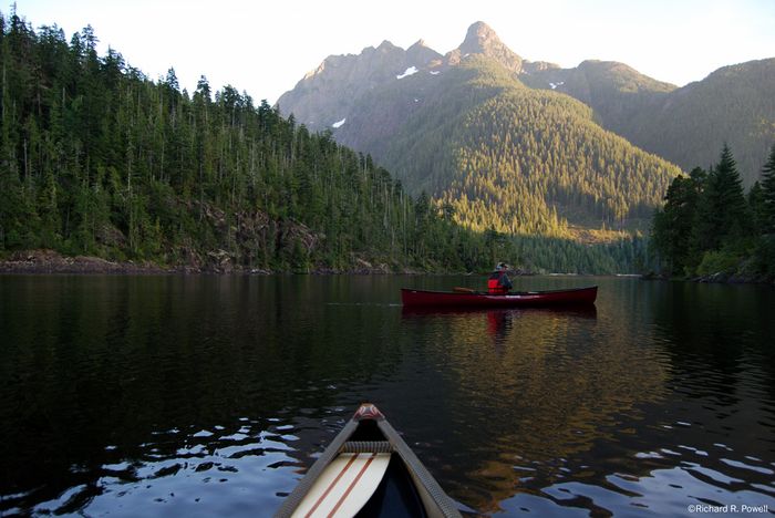
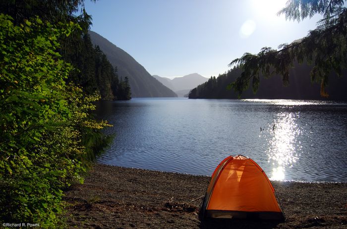
Atluck Lake with Pinder Peak in the background
My son in our Wenonah Solo+ spin casts on Atluck Lake just after sunset.
17 years ago
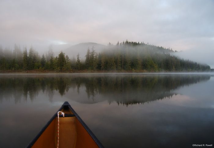
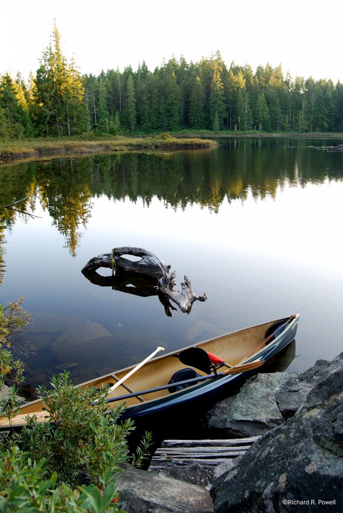
Cranberry Lake just after sunset
This is the main put in on the north western side of the lake, difficult launching area because large rocks are in fairly deep water. I discovered a better put in a little to the south on the other side of the point you can see in this picture.
17 years ago
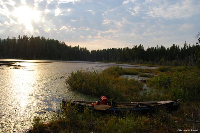
Turtle Lake - Northern Shore
This is near the put in on the Northern Shore looking west, taken in September 08.
17 years ago
Small is Beautiful
I visited this lake late one Sunday in September just after sunset, while the sunlight was still on the tips of the trees.The road in is good shape except for one stretch of very bad washout that would be challenging without a 4x4. The bad spot is, however, only about a 5 minute walk from the lake. Fish were rising when I put the canoe in and tried several fly patterns without much success until the sun was completely down. Then, with a barbless tom thumb I caught several fish, two of which were 12 inches or longer. One of these had a strangely deformed stomach with two long bulges that could have been tumors or parasites. The fish was otherwise very fat and healthy looking. I released all the fish I caught as it is a small lake and no doubt is under intense pressure from anglers. I discovered afterward that several of the un-named lakes in this area are catch and release only, including "Lake E" further upstream from Cranberry. Cranberry, from what I can tell, is still open, but I encourage you to fish it lightly.
17 years ago
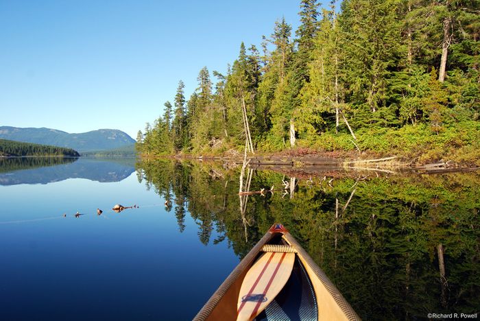
Northern Tip of Mohun Island
I was fortunate to paddle the lake just before sunset in late September. Lots of fish rising especially between the Island and the Western shore just off the southern tip of the island.This picture it taken about half way down the western side of the island looking north.
17 years ago
|width:0|50.0856953,-125.527128|50.1649824,-125.527128|50.1649824,-125.4853133|50.0856953,-125.4853133|50.0856953,-125.527128)

Boat Launch Marker Added
Two camp sites, one on either side of the boat launch
|width:0|50.0856953,-125.527128|50.1649824,-125.527128|50.1649824,-125.4853133|50.0856953,-125.4853133|50.0856953,-125.527128)
17 years ago
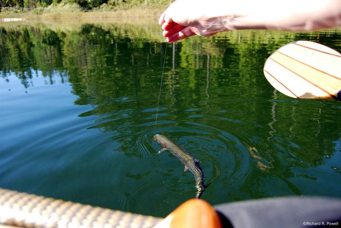
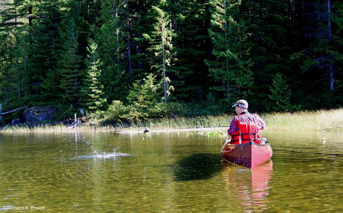
Cutthroat on a bubble and fly
This photo is taken near where the larger lake narrows and the short channel to the second "lake" begins. My son had been having no luck with spinners and I was catching them on flies, so he changed to a bubble and fly and caught the biggest fish of the day!
18 years ago

Other Marker Added
This Channel is now impassable because of logs and weed growth.
|width:0|50.1732386,-125.5180332|50.1793584,-125.5180332|50.1793584,-125.5060839|50.1732386,-125.5060839|50.1732386,-125.5180332)
18 years ago
|width:0|49.436928,-125.1876368|49.4739105,-125.1876368|49.4739105,-125.1013312|49.436928,-125.1013312|49.436928,-125.1876368)
|width:0|49.436928,-125.1876368|49.4739105,-125.1876368|49.4739105,-125.1013312|49.436928,-125.1013312|49.436928,-125.1876368)
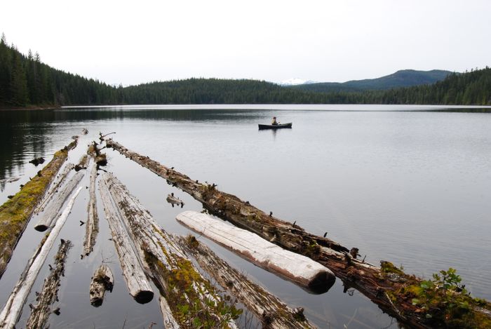
Surprise Lake in May 2008
We hiked the short portage from Amor Lake with one canoe. A fair number of small cutthrout were hooked on Adams flies.
18 years ago
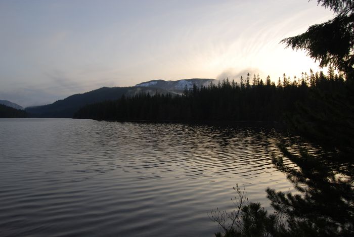
Sunrise from the Sterling Island Rec Site
We camped on the most northerly of the islands on the east side of the lake. There is a great little camp site there as well as on the nearest neighbouring island.
18 years ago
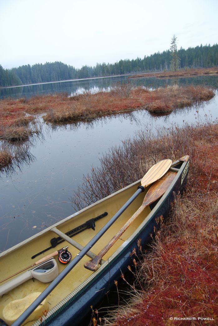
Tutle Lake Looking West
These weed mats are on the eastern shore of the lake.
18 years ago
Lots of Wildlife
Visited the lake on March 2nd and the lake was really coming to life. Still snow in the shady spots, but a large midge population and fish rising. Flock of Trumpeter Swans, several otters, and many wrens and song birds in the surrounding forest. Didn't see any turtles, though... This is a jem of a lake and I encourage everyone to tread lightly and preserve it's beauty.
18 years ago
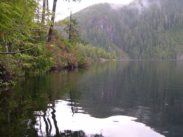
From East Shore
Gracie Lake has a number of points that protrude from the East shore, this picture is taken looking west towards the largest of these points.
18 years ago
November 2007
I visited Gracie Lake in November of 2007. The road access is good, though many potholes and a steep climb from Sproat lake up to the saddle where Gracie Lake sits. There is a good deal of flood stabilization work going on along the Shore of Sproat Lake. Many thousands of dollars in the placement of large rock along steep runoff chutes and in road repair. As long as the logging company maintains this road, access should be good, but if they do not, landslides and washouts will occur within a short period of time, restricting access. The lake itself has a good parking lot with a beach launch area, though the whole area has been covered in rocks and debris by flash floods. It is the sort of alluvial fan formation you see where the trees are all surrounded by a flow of rock. This often kills the trees and some of the ones at this site look like they may already have died. Clearly this area gets huge amounts of rain and landslides are a real possibility, especially with all the logging going on. Having said that, for anglers, this is a definite risk worth taking. I spin cast from my canoe and had numerous strikes along the western shore. I caught two strong healthy rainbow trout, one about 10 inches and the other about 14 inches. I understand Gracie is not stocked regularly, but is stocked from time to time. An angler on a community website noted that he had caught some large rainbows in this lake, so I gave it a try. Sure glad I did. This lakeâs scenic and interesting shoreline is interesting to paddle past with rocky outcroppings and picturesque shore pine. There was a fair bit of traffic on this road in November with hunters and loggers doing their business, so I think the lake could easily be over fished. I took only the two larger fish and released the rest.
18 years ago