Events
  Places
  Fish
Fish  Research
  Sign in
  New Catch Log
  New Trip Log
 Where is BUTTLE LAKE?
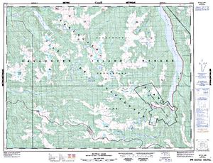
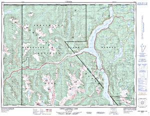
BUTTLE LAKE (49.7086, -125.5710), located in Vancouver Island Region, British Columbia, Canada spans 3689.6 hectares (approximately 9117 acres or 36.9 square kilometers).
Which fish can I catch at BUTTLE LAKE?
The most popular species caught here are Cutthroat Trout, Rainbow Trout, and Signal Crayfish. Please use your best judgement when determining where you can fish, and make sure you follow local rules and regulations.
What does BUTTLE LAKE have?
Our members have marked 2 Boat Launches at BUTTLE LAKE. You can view these markers on the map.


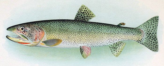
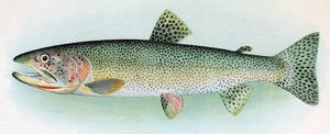 Cutthroat Trout
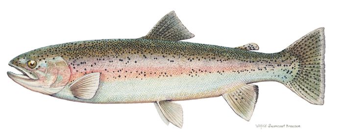
 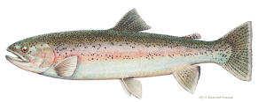 Rainbow Trout
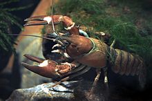
 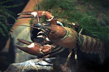 Signal Crayfish
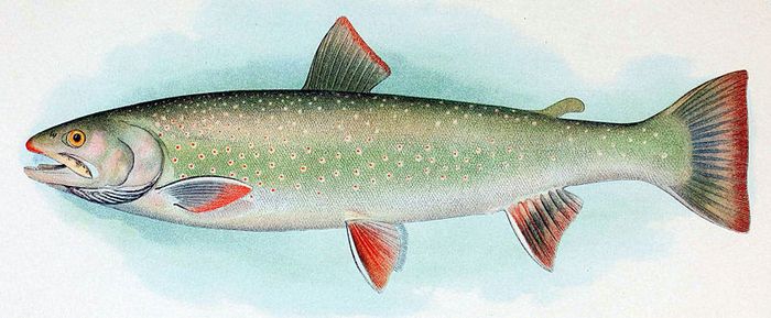
 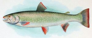 Dolly Varden
Lodging and Camping
Strathcona Provincial Park, designated in 1911, is the oldest provincial park in British Columbia. Located almost in the centre of Vancouver Island, Buttle Lake and Ralph River offer serene base camps, from which one can venture out to any of the 52 kilometres of hiking trails in the mountains of the very rare Strathcona wilderness area. The extensive trail system is suitable for day or overnight hikes, with hikes ranging in duration from 2 to 8 hours. Strathcona Provincial Park offers some of the best backcountry experiences on Vancouver Island. Valleys forested with ancient tress give way to the fir and hemlock of sub-alpine regions, and wildflowers provide spectacular displays from sea level up to 1800m. The Parks geological history stretches back 380 million years, with extensive evidence of volcanic activity. Backcountry wildlife includes black bears, elk, cougars, bald eagles, swans, and marmots; many distinct from their mainland relatives due to Vancouver Island's seperation from the mainland so long ago. Backcountry hikers can overnight camp on the bedwell Lakes and Elk River Trail, as well as designated campsites on Forbidden Plateau (Helen Mackenzie, Kwai, and Circlet Lakes) Backcountry visitors should be self-sufficient, properly equipped and highly experienced. wilderness areas, glaciers, snowfields, and mountains are challenging and hazardous, especially in avalanche areas. Snowfall can be expected from November to March on slopes and alpine plateaus, and can linger until July on the higher peaks. 160 sites in 2 campgrounds at Buttle Lake and Ralph River. Group sites at Driftwood Bay, Karst Creek and Croteau Lake, and 5 Marine access only campsites in various locations throughout the park. Backcountry campsites include bedwell and Baby Bedwell Lakes, Elk River Trail, and Helen Mackenzie, Kwai, and Circlet Lakes, located on the Forbidden Plateau. Park Size: 245,807 hectares
The main access is via Highway 28, which connects with Gold River on the west coast of Vancouver Island. Follow Highway 19 to Campbell River, and then follow Highway 28 west for 48 km. Highway 28 passes through the northern section of the park and provides access to Buttle Lake. Located 35 km south of Buttle Lake along the Buttle Lake (Western Mines Road). Gas and services are not available between Campbell River and Gold River.
User Feed

Boat Launch Marker Added
|width:0|49.5586424,-125.6305863|49.839327,-125.6305863|49.839327,-125.5219639|49.5586424,-125.5219639|49.5586424,-125.6305863)
Boat Launch Marker Added
|width:0|49.5586424,-125.6305863|49.839327,-125.6305863|49.839327,-125.5219639|49.5586424,-125.5219639|49.5586424,-125.6305863)