Events
  Places
  Fish
Fish  Research
  Sign in
  New Catch Log
  New Trip Log
 Where is Alberni Inlet?
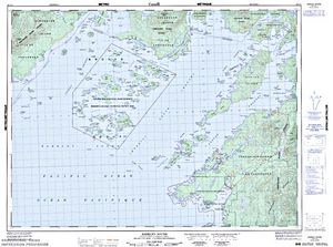
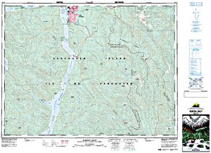
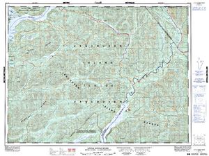
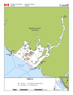
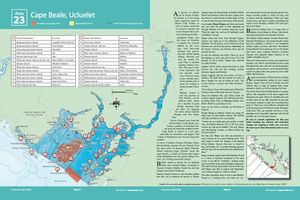
Alberni Inlet (49.0672, -124.8761), located in Vancouver Island Region, Area 23, British Columbia, Canada spans 5490.2 hectares (approximately 13567 acres or 54.9 square kilometers).
Which fish can I catch at Alberni Inlet?
Not enough members have confirmed species for Alberni Inlet, add the species you know are in Alberni Inlet below. Please use your best judgement when determining where you can fish, and make sure you follow local rules and regulations.
What does Alberni Inlet have?
No one has left markers on Alberni Inlet yet, you can add markers on the map.


Species


Lodging and Camping
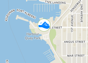

With local roots dating back more than thirty five years, Port Boat House has become your Vancouver Island Boat Dealer of choice for new and used boats. They have the Island’s largest selection of reliable sea bearing boats – quality boats that are sold and serviced by seasoned professionals who know boating, their customers and the harsh demands of the West Coast.
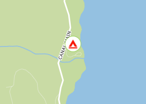
A hidden, treed site on the shores of Alberni Inlet. There are 2 walk-in pads and 4 vehicle pads. The site is not suitable for motorhomes. Camp along the shore, turn over cobbles and discover the fascinating marine wildlife. This site is still undiscovered by most people.
From Port Alberni, cross the Somass River on Highway 4 toward Tofino. Take McCoy Lake Road on the left and then turn left onto Woodward. Follow the road to the Motocross and turn left onto the Canal Main forest road. The site is on the left, 22 km along the Canal Main. The unmarked entrance road is immediately before the bridge over Arden Creek. NOTE: Odometer reading may vary from one vehicle to another.