Events
  Places
  Fish
Fish  Research
  Sign in
  New Catch Log
  New Trip Log
 Where is Redwillow River?
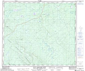
Redwillow River (54.9419, -120.2667), located in Peace Region, British Columbia, Alberta, Canada stretches 69.52 kilometers (approximately 43.2 miles).
Which fish can I catch at Redwillow River?
Not enough members have confirmed species for Redwillow River, add the species you know are in Redwillow River below. Please use your best judgement when determining where you can fish, and make sure you follow local rules and regulations.
What does Redwillow River have?
No one has left markers on Redwillow River yet, you can add markers on the map.


Species
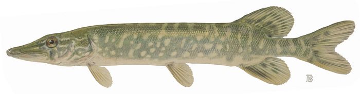
 Northern Pike

Lodging and Camping
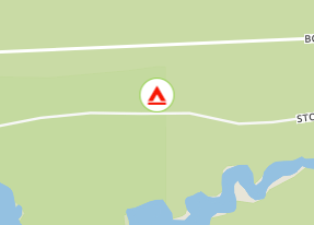
The camp site is situated on the East side of Stony Lake. There are 14 camping pads and an undeveloped boat launch for smaller boats. Those searching for a part of the Monkman Memorial Trail network can launch a canoe here and paddle across the lake to the far shore. Proceed around the corner and search for the sign with the logo of the Monkman Pass Memorial Trail. The well-marked trail soon becomes the 1930's Monkman Pass Highway, and can be followed westward for approximately 2 kilometres. Corduroy creek crossings, historic ruts and evidence of trail grade levelling may still be visible today.
Stony Lake Access Rd.
From Tumbler Ridge, drive south on Hwy 52 E for 54 km. Watch for highway signs indicating the turn-off on to the Stony Lake Access Road. The turn-off will be on your right hand side. It is a short 1.6 km drive to reach the recreation site from the highway.
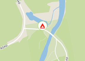
The site is situated along the Red Willow River. There are 4 camp pads.
Red Willow FSR.
From Dawson Creek, drive south for 30 km on Hwy 2 towards the Alberta border. Turn left (south) on to Hwy 52/Boundry Road. Drive 70 km to the recreation site. The site is 500 metres down the Red Willow FSR.